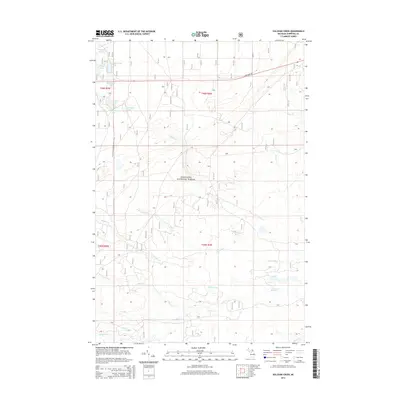
2014 Map of Sullivan Creek
USGS Topo · Published 2014About this map
Hiawatha National Forest dominates this section of the Upper Peninsula, where a dense network of watercourses and glacial lakes defines the landscape. The northern portion of the map is punctuated by several small water bodies, including Dishpan Lake, Stump Lake, and Monument Lake, while the N Country National Scenic Trail traverses the western edge. This area, largely managed for timber and recreation, shows the transition from the upland forests near State Hwy 28 down into the complex drainage systems of the N Pine River and Sullivan Cr. Local history and geography are preserved in family-named landmarks like Johnson Lake and the various branches of Black Cr. The map captures a largely wild landscape shaped by glacial activity, with subtle elevation changes marked by features like High Banks Lake.
Find a feature on this map
24 named features on this map. Tap any name to fly to it.
Don’t see what you’re looking for? This feature index may not catch every label — zoom into the map to look around manually.
Map Details
Editions of this 2014 Sullivan Creek Map
This is the sole edition of this map. No revisions or reprints were ever made.
Other maps of this area

1941 · Strongs
USGS Topo · 1:63,360

1941 · Brimley
USGS Topo · 1:63,360

1951 · Strongs
USGS Topo · 1:24,000

1951 · McNearney Lake
USGS Topo · 1:24,000

1951 · Pendills Lake
USGS Topo · 1:24,000

1951 · Dollar Settlement
USGS Topo · 1:24,000

1951 · Sullivan Creek
USGS Topo · 1:24,000

1951 · Raco
USGS Topo · 1:24,000

1951 · Brimley
USGS Topo · 1:62,500

1951 · Strongs
USGS Topo · 1:62,500
Featured Places
- Kinross Township, MI
- Superior Township, MI
- Trout Lake Township, MI
- Chippewa Township, MI
- Chippewa County, MI