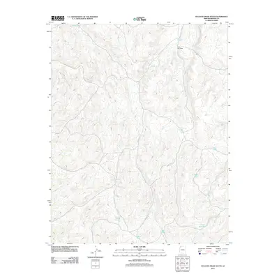
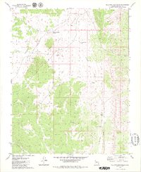
2011 Map of Sullivan Draw South
USGS Topo · Published 2011About this map
The high desert landscape of Mohave County is defined by a sparse but vital network of water catchments and drainage patterns. Sullivan Reservoir sits as a central landmark in this 2011 survey, collecting runoff from the surrounding arid terrain. The map meticulously documents the locations of numerous small-scale water features, which often serve as the only reliable landmarks for miles. Many of these, such as Nutter Tank and Engelstead Tank, likely reflect the ranching history of the area, while names like Little Joe Draw and High Bliss Pond hint at the local nomenclature used by those working this secluded reach of Arizona.
Find a feature on this map
16 named features on this map. Tap any name to fly to it.
Don’t see what you’re looking for? This feature index may not catch every label — zoom into the map to look around manually.
Map Details
Editions of this 2011 Sullivan Draw South Map
This is the sole edition of this map. No revisions or reprints were ever made.
Other maps of this area

1886 · Mt. Trumbull
USGS Topo · 1:250,000

1892 · Mt. Trumbull
USGS Topo · 1:250,000

1953 · Grand Canyon
USGS Topo · 1:250,000

1957 · Grand Canyon
USGS Topo · 1:250,000

1958 · Grand Canyon
USGS Topo · 1:250,000

1960 · Grand Canyon
USGS Topo · 1:250,000
1971 · Poverty Spring
USGS Topo · 1:24,000
1971 · Poverty Knoll
USGS Topo · 1:24,000
1971 · Last Chance Canyon
USGS Topo · 1:24,000
1979 · Sullivan Draw North
USGS Topo · 1:24,000