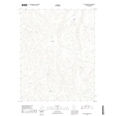
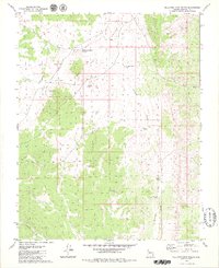
2018 Map of Sullivan Draw South
USGS Topo · Published 2018About this map
Sullivan Draw and its complex network of seasonal drainage features dominate this portion of the Arizona Strip in Mohave County. In this high-desert landscape, water management is the primary visible human intervention, as evidenced by a series of engineered water catchments like Sullivan Reservoir, Engelstead Tank, and Nutter Tank. These features reflect the area's ongoing importance for livestock grazing and land management, where every localized depression and draw serves a functional purpose. The terrain is defined by dramatic landforms such as Hobble Canyon and Sevy Draw, which channel the scarce precipitation across the plateau. Named features like High Bliss Pond and Ivanpah Pond indicate the specific locations where ranchers and land managers have long focused their efforts to sustain operations in an arid environment.
Find a feature on this map
23 named features on this map. Tap any name to fly to it.
Don’t see what you’re looking for? This feature index may not catch every label — zoom into the map to look around manually.
Map Details
Editions of this 2018 Sullivan Draw South Map
This is the sole edition of this map. No revisions or reprints were ever made.
Other maps of this area

1886 · Mt. Trumbull
USGS Topo · 1:250,000

1892 · Mt. Trumbull
USGS Topo · 1:250,000

1953 · Grand Canyon
USGS Topo · 1:250,000

1957 · Grand Canyon
USGS Topo · 1:250,000

1958 · Grand Canyon
USGS Topo · 1:250,000

1960 · Grand Canyon
USGS Topo · 1:250,000
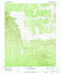
1971 · Poverty Spring
USGS Topo · 1:24,000
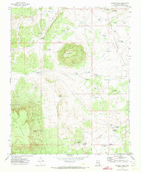
1971 · Poverty Knoll
USGS Topo · 1:24,000
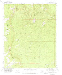
1971 · Last Chance Canyon
USGS Topo · 1:24,000
1979 · Sullivan Draw North
USGS Topo · 1:24,000