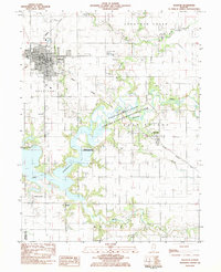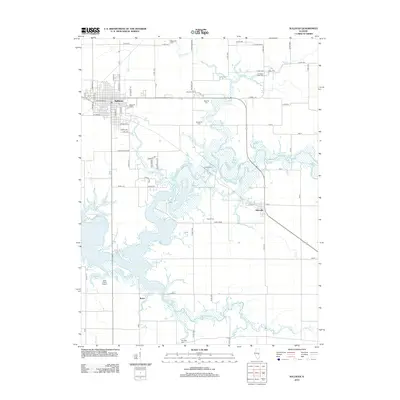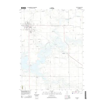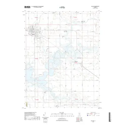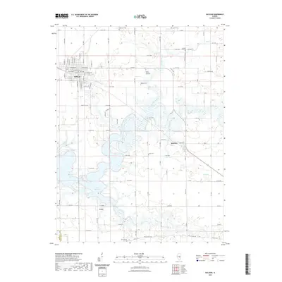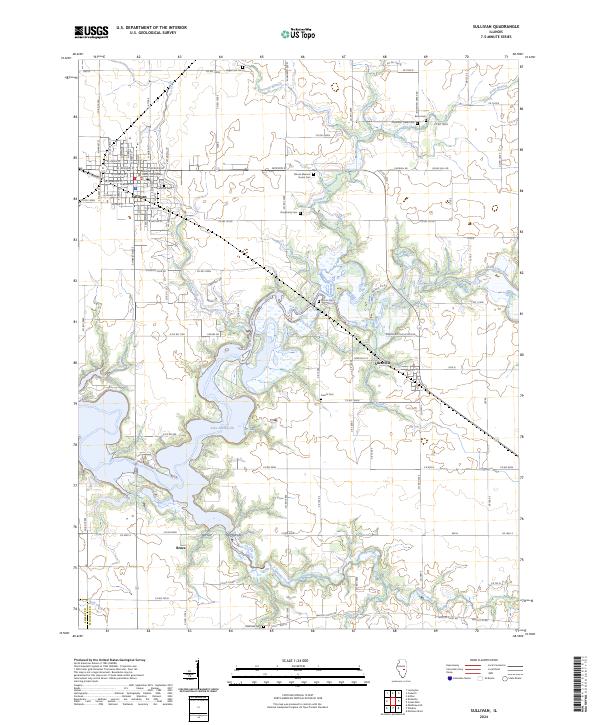
1998 Map of Sullivan
USGS Topo · Published 2003About this map
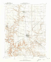
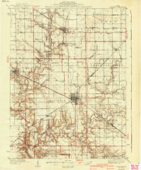
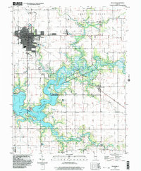
Sullivan serves as the central hub of this central Illinois landscape, where the northern reaches of Lake Shelbyville meet the serpentine flow of the Kaskaskia River. The town's layout is well-defined by landmarks like Wyman Park and the prominent Masonic Home, while the surrounding countryside in Sullivan and East Nelson townships is punctuated by rural schools like Lowe Sch and Powers Sch. The map reveals a complex water management area where the river expands into the reservoir, creating a landscape of inlets and points such as the Forrest W Wood Access Area.
Find a feature on this map
43 named features on this map. Tap any name to fly to it.
Don’t see what you’re looking for? This feature index may not catch every label — zoom into the map to look around manually.
Map Details
Editions of this 1998 Sullivan Map
This is the sole edition of this map. No revisions or reprints were ever made.
Historical Maps of Sullivan Through Time
9 maps found