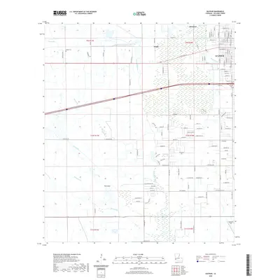
2020 Map of Sulphur
USGS Topo · Published 2020About this map
Sulphur and the surrounding Calcasieu Parish landscape are defined by a complex network of coastal bayous and drainage gullies in this recent survey. To the north, the historic settlement of Brimstone and the community of Stegall sit near the winding course of Bayou d'Inde. The map details the transition from the organized street grids of the city, including W Napoleon St and W Elizabeth St, to the more dispersed rural landscape of Pine Island.
Find a feature on this map
67 named features on this map. Tap any name to fly to it.
Don’t see what you’re looking for? This feature index may not catch every label — zoom into the map to look around manually.
Map Details
Editions of this 2020 Sulphur Map
This is the sole edition of this map. No revisions or reprints were ever made.
Other maps of this area

1932 · Moss Lake
USGS Topo · 1:31,680

1932 · Orange
USGS Topo · 1:62,500

1935 · Buhler
USGS Topo · 1:31,680

1946 · Moss Lake
USGS Topo · 1:31,680

1947 · Sulphur
USGS Topo · 1:31,680

1947 · Vinton
USGS Topo · 1:31,680

1947 · Sulphur Mines
USGS Topo · 1:31,680
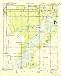
1947 · West Lake
USGS Topo · 1:31,680

1947 · Lunita
USGS Topo · 1:31,680
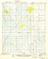
1949 · Cameron Farms
USGS Topo · 1:31,680