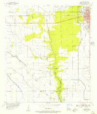
1955 Map of Sulphur
USGS Topo · Published 1956About this map
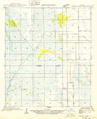
Sulphur emerges as a developing industrial and residential hub in Calcasieu Parish during the mid-1950s, anchored by the Southern Pacific railroad and the historic mining significance suggested by the name Brimstone. The town's civic core is clearly defined with its City Hall, Po, and Frasch High Sch, while recreational and social spaces like Frasch Park and a Drive-in Theater indicate the post-war growth of the community. Outside the main grid, the landscape is shaped by water and industry, with numerous Oil Wells dotting the terrain near Wing Gully and Spring Gully. The southern reaches transition into a more rural character, marked by the Choupique Ch and the winding course of Bayou Choupique. Smaller outlying settlements like Stegall and Carlyss reflect the localized pockets of habitation tied to the region's transport and drainage networks, including the prominent Canal Levee.
Find a feature on this map
24 named features on this map. Tap any name to fly to it.
Don’t see what you’re looking for? This feature index may not catch every label — zoom into the map to look around manually.
Map Details
Editions of this 1955 Sulphur Map
3 editions found
Other maps of this area

1932 · Moss Lake
USGS Topo · 1:31,680

1932 · Orange
USGS Topo · 1:62,500

1935 · Buhler
USGS Topo · 1:31,680

1946 · Moss Lake
USGS Topo · 1:31,680

1947 · Sulphur
USGS Topo · 1:31,680

1947 · Vinton
USGS Topo · 1:31,680

1947 · Sulphur Mines
USGS Topo · 1:31,680
1947 · West Lake
USGS Topo · 1:31,680

1947 · Lunita
USGS Topo · 1:31,680
1949 · Cameron Farms
USGS Topo · 1:31,680