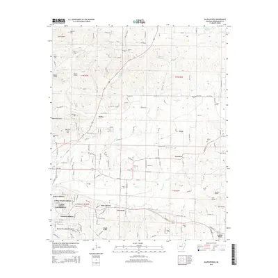
2014 Map of Sulphur Rock
USGS Topo · Published 2014About this map
The town of Sulphur Rock and the eastern outskirts of Batesville anchor this 2014 survey of Independence County. This landscape is defined by the transition from the rolling hills of Goforth Mountain and Davis Hill in the north to the fertile creek valleys of the south. The rural character of the region is punctuated by numerous small settlements and additions, including Moorefield, Gainsboro, and Pfeiffer. The Missouri & Northern Arkansas Railroad cuts a path through the southern half of the map, following the lowlands near Moorefield Creek and Miller Creek. For genealogists, the map is particularly detailed, identifying numerous burial sites such as Stark Cemetery, Reobeth Cemetery, and Haddock Cemetery. The prevalence of named springs like Schlieper Spring and Saint Clair Spring highlights the historic importance of reliable water sources in this part of Arkansas.
Find a feature on this map
151 named features on this map. Tap any name to fly to it.
Don’t see what you’re looking for? This feature index may not catch every label — zoom into the map to look around manually.
Map Details
Editions of this 2014 Sulphur Rock Map
This is the sole edition of this map. No revisions or reprints were ever made.
Other maps of this area

1890 · Batesville
USGS Topo · 1:125,000

1891 · Batesville
USGS Topo · 1:125,000

1932 · Strawberry
USGS Topo · 1:62,500

1935 · Strawberry
USGS Topo · 1:62,500

1935 · Newport
USGS Topo · 1:62,500

1941 · Strawberry
USGS Topo · 1:62,500

1942 · Jamestown
USGS Topo · 1:31,680

1942 · Salado
USGS Topo · 1:31,680

1942 · Batesville
USGS Topo · 1:31,680

1943 · Sandtown
USGS Topo · 1:24,000