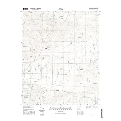
2017 Map of Sulphur Rock
USGS Topo · Published 2017About this map
Batesville and the surrounding Independence County landscape are defined by a mix of educational institutions and rural creek valleys in this 2017 study. The Univ of Arkansas Community Coll - Batesville serves as a prominent landmark on the western edge, while the Missouri & Northern Arkansas RR corridor links the settlements of Pfeiffer, Moorefield, and Sulphur Rock. The terrain transitions from the heights of Goforth Mtn and Adler Hill in the north down toward the drainage basins of Pfeiffer Cr and Moorefield Cr.
Find a feature on this map
145 named features on this map. Tap any name to fly to it.
Don’t see what you’re looking for? This feature index may not catch every label — zoom into the map to look around manually.
Map Details
Editions of this 2017 Sulphur Rock Map
This is the sole edition of this map. No revisions or reprints were ever made.
Other maps of this area

1890 · Batesville
USGS Topo · 1:125,000

1891 · Batesville
USGS Topo · 1:125,000

1932 · Strawberry
USGS Topo · 1:62,500

1935 · Strawberry
USGS Topo · 1:62,500

1935 · Newport
USGS Topo · 1:62,500

1941 · Strawberry
USGS Topo · 1:62,500

1942 · Jamestown
USGS Topo · 1:31,680

1942 · Salado
USGS Topo · 1:31,680

1942 · Batesville
USGS Topo · 1:31,680

1943 · Sandtown
USGS Topo · 1:24,000