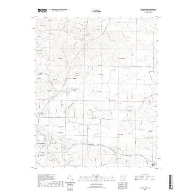
2020 Map of Sulphur Rock
USGS Topo · Published 2020About this map
Batesville and its eastern surroundings are defined by the convergence of several major drainage systems including Dota Cr and Miller Cr. This 2020 survey documents the transition from the concentrated educational and residential center of the University of Arkansas Community College - Batesville to the smaller agricultural and rail-aligned settlements of Moorefield, Pfeiffer, and Gainsboro. The landscape is notable for its numerous family and community burial sites, such as Bethel Cem, Stark Cem, and Haddock Cem, which provide essential geographic anchors for local history and genealogical study.
Find a feature on this map
172 named features on this map. Tap any name to fly to it.
Don’t see what you’re looking for? This feature index may not catch every label — zoom into the map to look around manually.
Map Details
Editions of this 2020 Sulphur Rock Map
This is the sole edition of this map. No revisions or reprints were ever made.
Other maps of this area

1890 · Batesville
USGS Topo · 1:125,000

1891 · Batesville
USGS Topo · 1:125,000

1932 · Strawberry
USGS Topo · 1:62,500

1935 · Strawberry
USGS Topo · 1:62,500

1935 · Newport
USGS Topo · 1:62,500

1941 · Strawberry
USGS Topo · 1:62,500

1942 · Jamestown
USGS Topo · 1:31,680

1942 · Salado
USGS Topo · 1:31,680

1942 · Batesville
USGS Topo · 1:31,680

1943 · Sandtown
USGS Topo · 1:24,000