Loading...
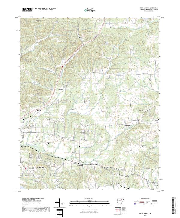
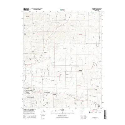
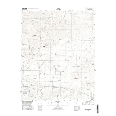
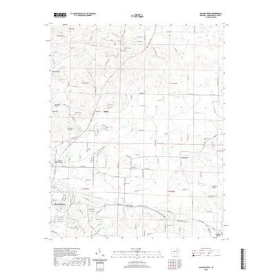
Loading map...2024 Map of Sulphur Rock
USGS Topo · Published 2024About this map
The White River valley outskirts east of Batesville are defined by a mix of educational institutions and rural settlements. This landscape features the University of Arkansas Community College - Batesville and several established communities including Pfeiffer, Moorefield, and Gainsboro. The terrain is marked by family-named landmarks and water sources such as Goforth Mtn, Schleper Spring, and Miller Creek.
Find a feature on this map
174 named features on this map. Tap any name to fly to it.
Don’t see what you’re looking for? This feature index may not catch every label — zoom into the map to look around manually.
Map Details
Date Portrayed2024
Date Published2024
PublisherU.S. Geological Survey
Map TypeTopographic
Scale1:24,000
Physical Dimensions24 x 29 inches
Editions of this 2024 Sulphur Rock Map
This is the sole edition of this map. No revisions or reprints were ever made.
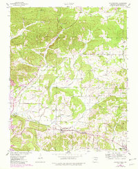
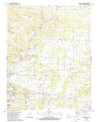
Historical Maps of Batesville Through Time
7 maps found
Featured Locations
Source Details
SourceU.S. Geological Survey
CopyrightPublic Domain