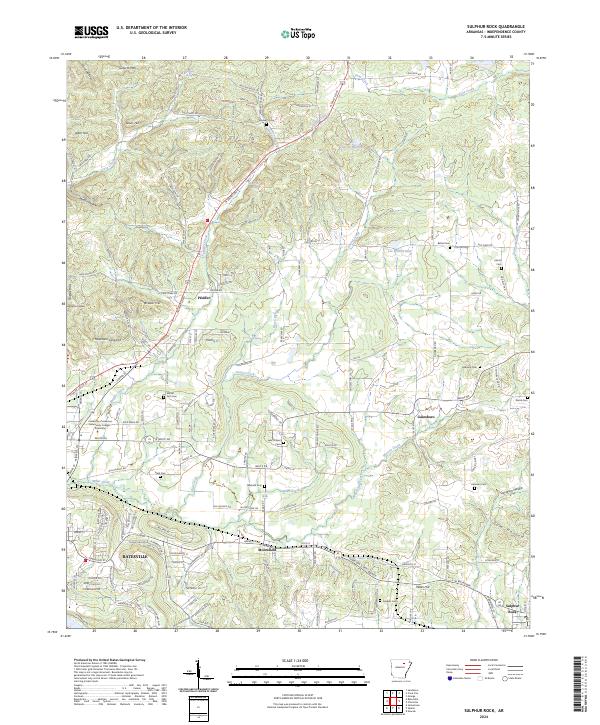
2024 Map of Sulphur Rock
USGS Topo · Published 2024About this map
The White River valley outskirts east of Batesville are defined by a mix of educational institutions and rural settlements. This landscape features the University of Arkansas Community College - Batesville and several established communities including Pfeiffer, Moorefield, and Gainsboro. The terrain is marked by family-named landmarks and water sources such as Goforth Mtn, Schleper Spring, and Miller Creek.
Find a feature on this map
174 named features on this map. Tap any name to fly to it.
Don’t see what you’re looking for? This feature index may not catch every label — zoom into the map to look around manually.
Map Details
Editions of this 2024 Sulphur Rock Map
This is the sole edition of this map. No revisions or reprints were ever made.
Other maps of this area

1890 · Batesville
USGS Topo · 1:125,000

1891 · Batesville
USGS Topo · 1:125,000

1932 · Strawberry
USGS Topo · 1:62,500

1935 · Strawberry
USGS Topo · 1:62,500

1935 · Newport
USGS Topo · 1:62,500

1941 · Strawberry
USGS Topo · 1:62,500

1942 · Jamestown
USGS Topo · 1:31,680

1942 · Salado
USGS Topo · 1:31,680

1942 · Batesville
USGS Topo · 1:31,680

1943 · Sandtown
USGS Topo · 1:24,000