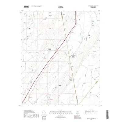
2018 Map of Sulphur Springs
USGS Topo · Published 2018About this map
Battelle and Sulphur Springs Station sit at the center of this 2018 survey, which tracks the high-relief transition from Lookout Mountain into the valley floors of DeKalb County. The geography is defined by a series of deep gulfs and coves, such as Atkins Gulf and Deer Head Cove, while the Norfolk Southern rail line cuts through Railroad Valley. These features indicate a landscape where early settlement and transport were strictly dictated by the northeast-southwest grain of the ridges.
Find a feature on this map
117 named features on this map. Tap any name to fly to it.
Don’t see what you’re looking for? This feature index may not catch every label — zoom into the map to look around manually.
Map Details
Editions of this 2018 Sulphur Springs Map
This is the sole edition of this map. No revisions or reprints were ever made.
Other maps of this area

1886 · Ringgold
USGS Topo · 1:125,000

1886 · Stevenson
USGS Topo · 1:125,000

1892 · Ringgold
USGS Topo · 1:125,000

1892 · Stevenson
USGS Topo · 1:125,000

1895 · Stevenson
USGS Topo · 1:125,000

1935 · Durham
USGS Topo · 1:24,000

1936 · Trenton
USGS Topo · 1:24,000

1936 · Ider
USGS Topo · 1:24,000

1936 · Flat Rock
USGS Topo · 1:24,000

1936 · Dugout Valley
USGS Topo · 1:24,000