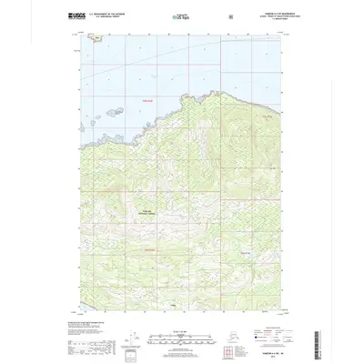
2017 Map of Sumdum A-6 SW
USGS Topo · Published 2017About this map
Kake sits on the southwestern coast of Kupreanof Island, overlooking the narrow waters of Keku Strait at the southern edge of this coastal survey. The terrain rises sharply from the shoreline into the dense woods of the Tongass National Forest, reaching heights at Turn Mountain. To the north, the landscape breaks into the open waters of Frederick Sound, where maritime hazards like East Pinta Rocks and the prominent Pinta Point define the coastal navigation. The drainage of Gunnuk Creek provides a vital freshwater path near the settlement, illustrating the relationship between the village and its immediate natural resources. This map reveals a landscape defined by its rugged isolation and the deep reliance of its inhabitants on the surrounding waterways and timberlands.
Find a feature on this map
12 named features on this map. Tap any name to fly to it.
Don’t see what you’re looking for? This feature index may not catch every label — zoom into the map to look around manually.
Map Details
Editions of this 2017 Sumdum A-6 SW Map
This is the sole edition of this map. No revisions or reprints were ever made.
Other maps of this area

1948 · Sumdum A-6
USGS Topo · 1:63,360

1948 · Petersburg D-6
USGS Topo · 1:63,360

1948 · Port Alexander D-1
USGS Topo · 1:63,360

1948 · Sitka A-1
USGS Topo · 1:63,360

1951 · Sitka
USGS Topo · 1:250,000

1951 · Port Alexander
USGS Topo · 1:250,000

1951 · Petersburg D-6
USGS Topo · 1:63,360

1952 · Petersburg
USGS Topo · 1:250,000

1952 · Port Alexander
USGS Topo · 1:250,000

1952 · Sumdum
USGS Topo · 1:250,000