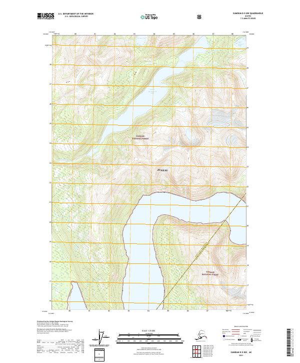
2021 Map of Sumdum D-5 NW
USGS Topo · Published 2021About this map
Tongass National Forest dominates this coastal Alaskan landscape, where glacial waters and steep drainage basins define the geography within the Juneau City and Borough Hoonah-Angoon Census Area. The interconnected waterway system of Lower Sweetheart Lake and Upper Sweetheart Lake serves as a central hydrological feature, fed by the rugged course of Sweetheart Cr. This 2021 survey illustrates the precise boundary between the Juneau municipal district and the surrounding census area, showcasing the vast undeveloped reaches of Southeast Alaska. The presence of Gilbert Cr further highlights the numerous freshwater arteries that carve through the protected forest lands, illustrating the typical topographical patterns of the Alexander Archipelago’s mainland edge.
Find a feature on this map
11 named features on this map. Tap any name to fly to it.
Don’t see what you’re looking for? This feature index may not catch every label — zoom into the map to look around manually.
Map Details
Editions of this 2021 Sumdum D-5 NW Map
This is the sole edition of this map. No revisions or reprints were ever made.
Other maps of this area

1948 · Sumdum D-6
USGS Topo · 1:63,360

1948 · Sumdum D-5
USGS Topo · 1:63,360

1951 · Taku River A-5
USGS Topo · 1:63,360

1951 · Taku River A-6
USGS Topo · 1:63,360

1951 · Sumdum D-6
USGS Topo · 1:63,360

1952 · Sumdum
USGS Topo · 1:250,000

1953 · Taku River
USGS Topo · 1:250,000

1955 · Sumdum D-5
USGS Topo · 1:63,360

1960 · Taku River
USGS Topo · 1:250,000

1961 · Sumdum
USGS Topo · 1:250,000