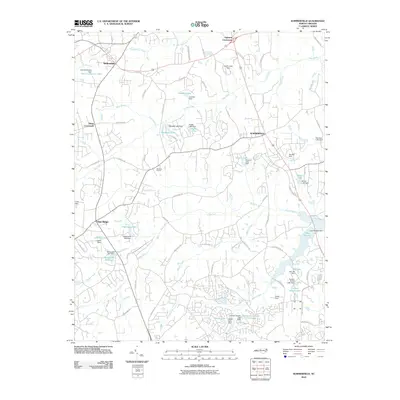
2010 Map of Summerfield
USGS Topo · Published 2010About this map
Summerfield and its surrounding countryside north of Greensboro are characterized by a sophisticated network of small reservoirs and residential growth at the start of the 21st century. The map reveals how the upper reaches of the Haw River and Reedy Fork have been modified by numerous local water projects, including Lake Higgins and Linville Lake. Historically significant sites like the Bailes Old Mill Dam and Bailes Old Millpond stand alongside newer recreational and social anchors such as the Cardinal Country Club Lake and Ski Lake. The road network connects established rural junctions like Ogburns Crossroads and Kings Crossroads, while local spiritual life is represented by the Moravia Church. This survey provides a clear view of the suburban and rural development patterns of Guilford County as it appeared in the early 2000s.
Find a feature on this map
89 named features on this map. Tap any name to fly to it.
Don’t see what you’re looking for? This feature index may not catch every label — zoom into the map to look around manually.
Map Details
Editions of this 2010 Summerfield Map
This is the sole edition of this map. No revisions or reprints were ever made.
Other maps of this area

1951 · Guilford
USGS Topo · 1:24,000

1951 · Lake Brandt
USGS Topo · 1:24,000

1951 · Greensboro
USGS Topo · 1:24,000

1953 · Winston-Salem
USGS Topo · 1:250,000

1953 · Greensboro
USGS Topo · 1:250,000

1954 · Greensboro
USGS Topo · 1:250,000

1955 · Winston-Salem
USGS Topo · 1:250,000

1962 · Winston-Salem
USGS Topo · 1:250,000

1962 · Greensboro
USGS Topo · 1:250,000

1966 · Greensboro
USGS Topo · 1:250,000