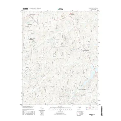
2016 Map of Summerfield
USGS Topo · Published 2016About this map
Summerfield and its surrounding countryside in Guilford County serve as the focal point of this modern topographic record. The landscape is defined by the headwaters of the Haw River and Reedy Fork, which feed several significant water bodies including Lake Brandt, Lake Higgins, and Hardin Lake. These reservoirs and smaller ponds like Bailes-Old Millpond indicate a history of water management and recreation for the northern Piedmont region.
Find a feature on this map
239 named features on this map. Tap any name to fly to it.
Don’t see what you’re looking for? This feature index may not catch every label — zoom into the map to look around manually.
Map Details
Editions of this 2016 Summerfield Map
This is the sole edition of this map. No revisions or reprints were ever made.
Other maps of this area

1951 · Guilford
USGS Topo · 1:24,000

1951 · Lake Brandt
USGS Topo · 1:24,000

1951 · Greensboro
USGS Topo · 1:24,000

1953 · Winston-Salem
USGS Topo · 1:250,000

1953 · Greensboro
USGS Topo · 1:250,000

1954 · Greensboro
USGS Topo · 1:250,000

1955 · Winston-Salem
USGS Topo · 1:250,000

1962 · Winston-Salem
USGS Topo · 1:250,000

1962 · Greensboro
USGS Topo · 1:250,000

1966 · Greensboro
USGS Topo · 1:250,000