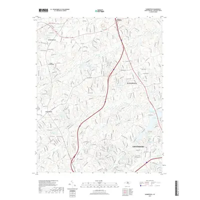
2019 Map of Summerfield
USGS Topo · Published 2019About this map
Summerfield and Oak Ridge anchor this detailed study of northern Guilford County, where the landscape transitions from rural crossroads to the expanding residential outskirts of Greensboro. The terrain is defined by its water system, most notably the upper reaches of the Haw River and the extensive reservoirs of Lake Brandt and Lake Higgins. Local history is preserved in the naming of smaller features like Bailes Old Millpond and several family-named landmarks including Foglemans Lake and Honkers Hollow Lake.
Find a feature on this map
253 named features on this map. Tap any name to fly to it.
Don’t see what you’re looking for? This feature index may not catch every label — zoom into the map to look around manually.
Map Details
Editions of this 2019 Summerfield Map
This is the sole edition of this map. No revisions or reprints were ever made.
Other maps of this area

1951 · Guilford
USGS Topo · 1:24,000

1951 · Lake Brandt
USGS Topo · 1:24,000

1951 · Greensboro
USGS Topo · 1:24,000

1953 · Winston-Salem
USGS Topo · 1:250,000

1953 · Greensboro
USGS Topo · 1:250,000

1954 · Greensboro
USGS Topo · 1:250,000

1955 · Winston-Salem
USGS Topo · 1:250,000

1962 · Winston-Salem
USGS Topo · 1:250,000

1962 · Greensboro
USGS Topo · 1:250,000

1966 · Greensboro
USGS Topo · 1:250,000