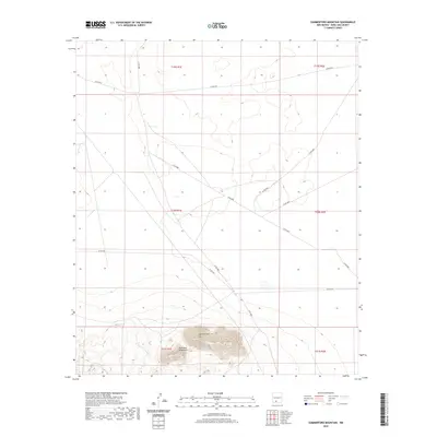
2020 Map of Summerford Mountain
USGS Topo · Published 2020About this map
Summerford Mtn dominates the southern landscape of this region in Doña Ana County, forming a prominent geological focal point within the larger Doña Ana Mountains range. The desert terrain is defined by its drainage patterns, most notably the winding path of Lucero Arroyo, which cuts through the arid basins to the west of the peak. A network of county roads, including Co Rd E080 and Co Rd E078, provides the primary access through this sparsely populated territory. The map illustrates a strictly rural environment where land use is partitioned by the Public Land Survey System, as evidenced by the grid of township and range boundaries such as t20s r1e and t21s r2e. This survey captures the relationship between high desert topography and the infrastructure of the Chihuahuan Desert floor in the modern era.
Find a feature on this map
15 named features on this map. Tap any name to fly to it.
Don’t see what you’re looking for? This feature index may not catch every label — zoom into the map to look around manually.
Map Details
Editions of this 2020 Summerford Mountain Map
This is the sole edition of this map. No revisions or reprints were ever made.
Other maps of this area

1891 · Las Cruces
USGS Topo · 1:125,000

1893 · Las Cruces
USGS Topo · 1:125,000

1916 · Tonuco
USGS Topo · 1:125,000

1932 · Tonuco
USGS Topo · 1:125,000

1941 · Las Cruces
USGS Topo · 1:62,500

1941 · Organ Peak
USGS Topo · 1:62,500

1943 · Organ Peak
USGS Topo · 1:62,500

1943 · Las Cruces
USGS Topo · 1:62,500

1948 · Bear Peak
USGS Topo · 1:62,500

1948 · San Diego Mountain
USGS Topo · 1:62,500