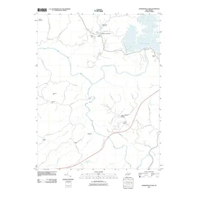
2011 Map of Summersville Dam
USGS Topo · Published 2011About this map
Summersville Lake dominates the northeast corner of this Nicholas County terrain, held in place by the engineering of the Summersville Dam. The landscape is defined by the deep incisions of the Gauley River and the Meadow River, which converge in a region characterized by high ridges like Panther Mountain and Miller Ridge. Small upland settlements and crossroads provide a window into the rural life of the area, including Keslers Cross Lanes and Mount Lookout, each maintaining its own post office and local identity. This 2011 survey captures the infrastructure of the region, from the Carnifex Tunnel to the network of local roads such as Panther Mountain Rd and Saturday Rd. Genealogists will find value in the documented burial grounds, including Zoar Cemetery and Dotson-Simpson Cemetery, which anchor the history of these mountain communities.
Find a feature on this map
64 named features on this map. Tap any name to fly to it.
Don’t see what you’re looking for? This feature index may not catch every label — zoom into the map to look around manually.
Map Details
Editions of this 2011 Summersville Dam Map
This is the sole edition of this map. No revisions or reprints were ever made.
Other maps of this area

1889 · Nicholas
USGS Topo · 1:125,000

1891 · Nicholas
USGS Topo · 1:125,000

1897 · Kanawha Falls
USGS Topo · 1:125,000

1900 · Kanawha Falls
USGS Topo · 1:125,000

1901 · Nicholas
USGS Topo · 1:125,000

1901 · Kanawha Falls
USGS Topo · 1:125,000

1908 · Clay
USGS Topo · 1:48,000

1908 · Fayetteville
USGS Topo · 1:48,000

1910 · Clay
USGS Topo · 1:62,500

1910 · Fayetteville
USGS Topo · 1:62,500