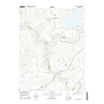
2014 Map of Summersville Dam
USGS Topo · Published 2014About this map
The Gauley River National Recreation Area dominates this landscape, where the Gauley River carves a deep path through the borderlands of Nicholas and Fayette counties. This survey shows the river's character defined by a series of significant whitewater features, including Sweet Falls Rapids, Iron Ring Rapids, and Pillow Rock Rapids. Below the Summersville Dam, the river is bridged by the Kevin Ritchie Memorial Bridge as it winds toward its confluence with the Meadow River.
Find a feature on this map
95 named features on this map. Tap any name to fly to it.
Don’t see what you’re looking for? This feature index may not catch every label — zoom into the map to look around manually.
Map Details
Editions of this 2014 Summersville Dam Map
This is the sole edition of this map. No revisions or reprints were ever made.
Other maps of this area

1889 · Nicholas
USGS Topo · 1:125,000

1891 · Nicholas
USGS Topo · 1:125,000

1897 · Kanawha Falls
USGS Topo · 1:125,000

1900 · Kanawha Falls
USGS Topo · 1:125,000

1901 · Nicholas
USGS Topo · 1:125,000

1901 · Kanawha Falls
USGS Topo · 1:125,000

1908 · Clay
USGS Topo · 1:48,000

1908 · Fayetteville
USGS Topo · 1:48,000

1910 · Clay
USGS Topo · 1:62,500

1910 · Fayetteville
USGS Topo · 1:62,500