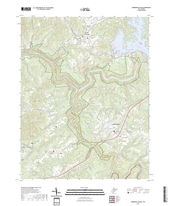
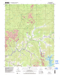
2023 Map of Summersville Dam
USGS Topo · Published 2023About this map
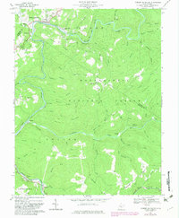
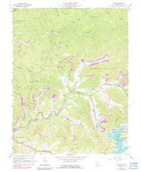
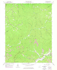
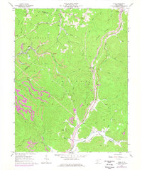
The Gauley River National Recreation Area dominates this section of the West Virginia highlands, where the Gauley River carves deep through the landscape. This modern survey illustrates the rugged convergence of the Gauley and the Meadow River, a region defined by its white-water features like Sweet Falls Rapids and Pillow Rock Rapids. Above the river canyon, the terrain transitions to the agricultural and residential plateaus of Keslers Cross Lanes and Mount Lookout.
Find a feature on this map
95 named features on this map. Tap any name to fly to it.
Don’t see what you’re looking for? This feature index may not catch every label — zoom into the map to look around manually.
Map Details
Editions of this 2023 Summersville Dam Map
This is the sole edition of this map. No revisions or reprints were ever made.
Historical Maps of Jenky Through Time
20 maps found

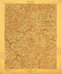
1889 Nicholas
Nicholas County, WV

1891 Nicholas
Nicholas County, WV
1901 Nicholas
Nicholas County, WV
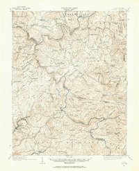
1914 Winona
Nicholas County, WV
1916 Winona
Nicholas County, WV
1966 Camden On Gauley
Nicholas County, WV
1967 Gilboa
Nicholas County, WV
1967 Lockwood
Nicholas County, WV
1967 Widen
Nicholas County, WV
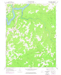
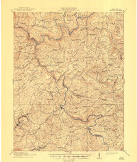
1969 Mount Nebo
Nicholas County, WV
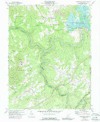
1969 Summersville Dam
Nicholas County, WV
1995 Camden on Gauley
Nicholas County, WV
1996 Gilboa
Nicholas County, WV
1996 Lockwood
Nicholas County, WV
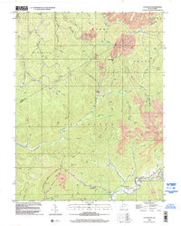
2023 Camden On Gauley
Nicholas County, WV
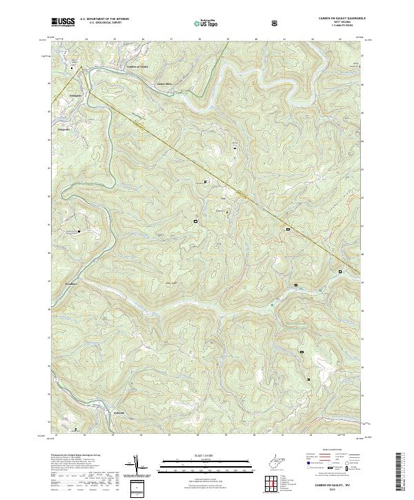
2023 Gilboa
Nicholas County, WV
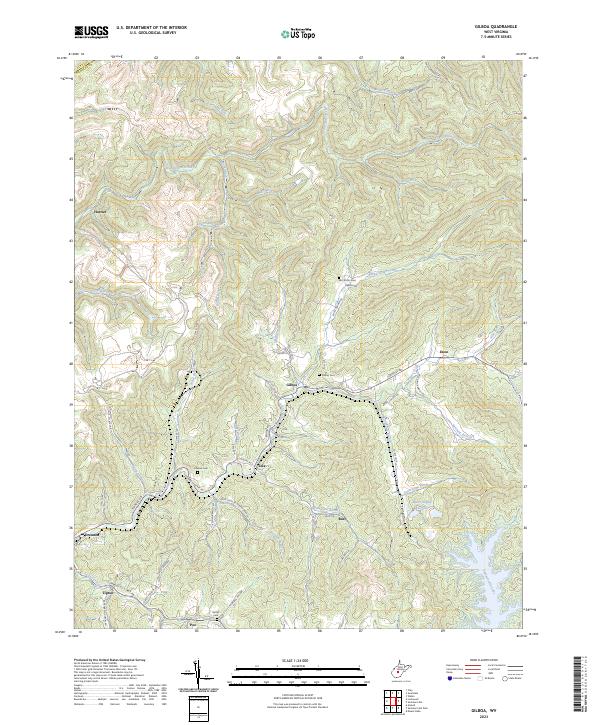
2023 Lockwood
Nicholas County, WV
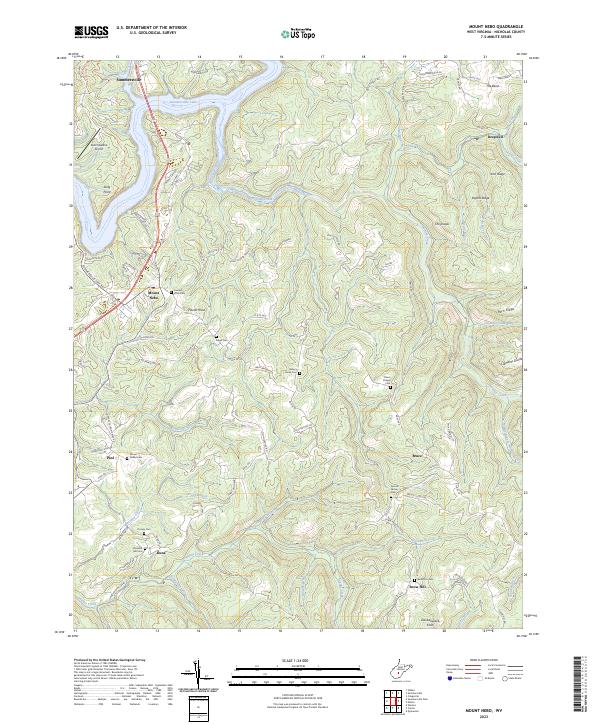
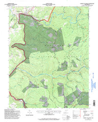
2023 Mount Nebo
Nicholas County, WV
2023 Summersville Dam
Nicholas County, WV
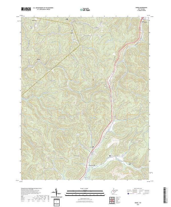
2023 Widen
Nicholas County, WV