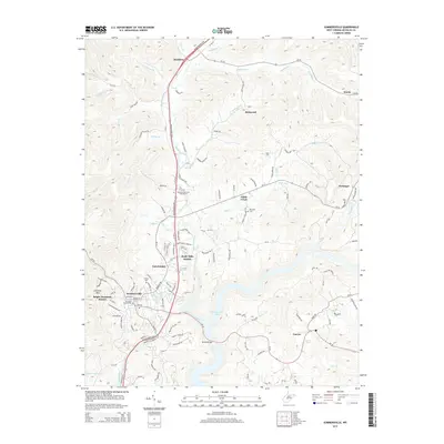
2014 Map of Summersville
USGS Topo · Published 2014About this map
Summersville serves as the regional hub for Nicholas County, where residential developments like Tara Estates and Bright Mountain Estates sit alongside established sites like the Catholic Church Cem. The landscape is defined by the significant southern waters of Summersville Lake and the winding course of Muddlety Creek, which feeds into the larger reservoir. This 2014 survey reveals a transition from the town center to rural outposts such as Muddlety, Kirkwood, and Canvas, linked by a network of local routes including the Mountaineer Expy. Notable landmarks like the Nicholas Memorial Golf Course and several burial grounds, including Groves Cem and Mt Union Cem, provide important touchpoints for family historians and local researchers. The topography rises toward Lonetree Mtn to the west, while the eastern edge is marked by the drainages of Persinger Cr and McMillion Cr.
Find a feature on this map
102 named features on this map. Tap any name to fly to it.
Don’t see what you’re looking for? This feature index may not catch every label — zoom into the map to look around manually.
Map Details
Editions of this 2014 Summersville Map
This is the sole edition of this map. No revisions or reprints were ever made.
Other maps of this area

1889 · Nicholas
USGS Topo · 1:125,000

1891 · Nicholas
USGS Topo · 1:125,000

1901 · Nicholas
USGS Topo · 1:125,000

1913 · Summersville
USGS Topo · 1:48,000

1914 · Winona
USGS Topo · 1:48,000

1915 · Cowen
USGS Topo · 1:48,000
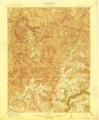
1915 · Summersville
USGS Topo · 1:62,500

1916 · Winona
USGS Topo · 1:62,500

1917 · Cowen
USGS Topo · 1:62,500

1918 · Richwood
USGS Topo · 1:62,500