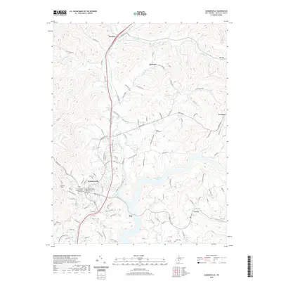
2019 Map of Summersville
USGS Topo · Published 2019About this map
Summersville serves as the central hub of this Nicholas County landscape, where the Nicholas County Courthouse and Nicholas County Magistrate Court anchor the local government district. The town is flanked by a mix of historic local markers, such as the Methodist Episcopal Church South and the nearby Groves Cem. To the east, the winding waters of Summersville Lake dominate the terrain, shaped by the confluence of Muddlety Creek and numerous tributaries like Rader Run and Arbuckle Br.
Find a feature on this map
120 named features on this map. Tap any name to fly to it.
Don’t see what you’re looking for? This feature index may not catch every label — zoom into the map to look around manually.
Map Details
Editions of this 2019 Summersville Map
This is the sole edition of this map. No revisions or reprints were ever made.
Other maps of this area

1889 · Nicholas
USGS Topo · 1:125,000

1891 · Nicholas
USGS Topo · 1:125,000

1901 · Nicholas
USGS Topo · 1:125,000

1913 · Summersville
USGS Topo · 1:48,000

1914 · Winona
USGS Topo · 1:48,000

1915 · Cowen
USGS Topo · 1:48,000
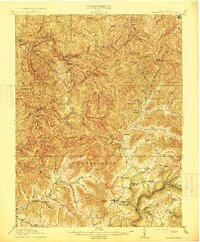
1915 · Summersville
USGS Topo · 1:62,500

1916 · Winona
USGS Topo · 1:62,500

1917 · Cowen
USGS Topo · 1:62,500

1918 · Richwood
USGS Topo · 1:62,500