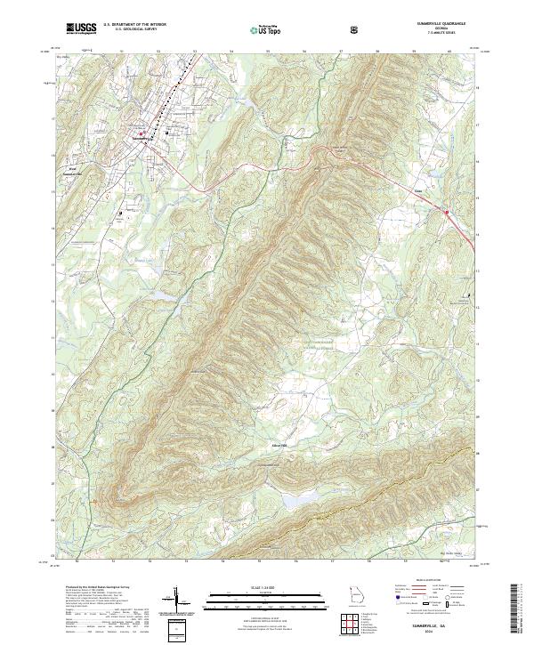
2024 Map of Summerville
USGS Topo · Published 2024About this map
Summerville serves as the focal point of this Northwest Georgia survey, centered on the Chattooga County Courthouse and its surrounding street grid. The town is situated in a valley between the prominent elevations of Dry Valley to the north and the expansive Chattahoochee National Forest to the south. The terrain is defined by the sharp spine of Taylor Ridge, which runs northeast to southwest, pierced by high points like Mack White Gap and Jenkins Gap.
Find a feature on this map
127 named features on this map. Tap any name to fly to it.
Don’t see what you’re looking for? This feature index may not catch every label — zoom into the map to look around manually.
Map Details
Editions of this 2024 Summerville Map
This is the sole edition of this map. No revisions or reprints were ever made.
Other maps of this area

1886 · Ringgold
USGS Topo · 1:125,000

1886 · Rome
USGS Topo · 1:125,000

1892 · Ringgold
USGS Topo · 1:125,000

1898 · Rome
USGS Topo · 1:125,000

1899 · Rome
USGS Topo · 1:125,000

1904 · Rome
USGS Topo · 1:125,000
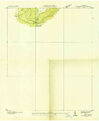
1936 · Dougherty Gap
USGS Topo · 1:24,000
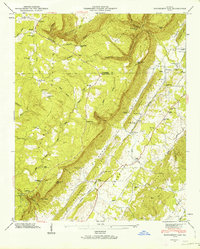
1946 · Dougherty Gap
USGS Topo · 1:24,000
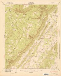
1947 · Dougherty Gap
USGS Topo · 1:24,000

1955 · Rome
USGS Topo · 1:250,000