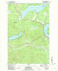
1981 Map of Summit Lake
USGS Topo · Published 1982About this map
Summit Lake serves as a central landmark in this 1981 survey of the borderlands between Mason and Thurston counties. The landscape transitions from the marine environments of Totten Inlet and Eld Inlet to the high ground of the Black Hills, where Rock Candy Mtn rises above the Capitol State Forest. The map documents a period of mixed land use, where timber extraction at numerous borrow and gravel pits exists alongside recreation at the Boy Scout Camp and the public Boat Ramp on the lake. Transport infrastructure is prominent, featuring the Northern Pacific railroad and the Old Olympic Highway winding through the terrain. To the north, the Squaxin Island Indian Res borders the waters of Oyster Bay, while the Griffin Sch stands as a community pillar in the Schneider Prairie district.
Find a feature on this map
46 named features on this map. Tap any name to fly to it.
Don’t see what you’re looking for? This feature index may not catch every label — zoom into the map to look around manually.
Map Details
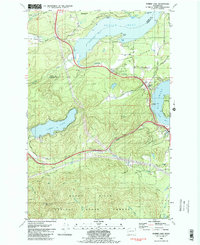
Editions of this 1981 Summit Lake Map
2 editions found
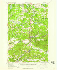
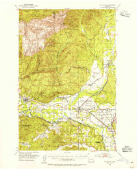
Other maps of this area

1916 · Chehalis
USGS Topo · 1:125,000

1937 · Olympia
USGS Topo · 1:62,500

1939 · Shelton
USGS Topo · 1:62,500

1940 · Tenino
USGS Topo · 1:62,500

1941 · Gate
USGS Topo · 1:62,500

1944 · Tenino
USGS Topo · 1:62,500
1949 · Tenino
USGS Topo · 1:62,500

1949 · Olympia
USGS Topo · 1:62,500

1953 · Hoquiam
USGS Topo · 1:250,000
1953 · Rochester
USGS Topo · 1:62,500