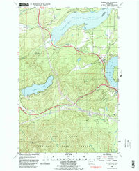
1981 Map of Summit Lake
USGS Topo · Published 1982About this map
Summit Lake lies at the heart of this coastal and forested landscape, serving as a focal point between the marine reaches of the Puget Sound and the wooded heights of the Black Hills. This 1981 survey reveals a transition from the salt-water inlets of Totten Inlet and Eld Inlet to the managed timberlands of the Capitol State Forest. Along the northern shores, the Squaxin Island Indian Res and the small settlement of Slocum suggest the deep-rooted cultural and resource-based economy of the region.
Find a feature on this map
42 named features on this map. Tap any name to fly to it.
Don’t see what you’re looking for? This feature index may not catch every label — zoom into the map to look around manually.
Map Details
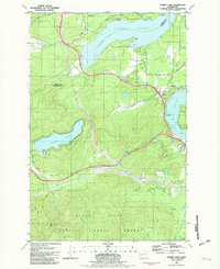
Editions of this 1981 Summit Lake Map
2 editions found
Other maps of this area

1916 · Chehalis
USGS Topo · 1:125,000

1937 · Olympia
USGS Topo · 1:62,500

1939 · Shelton
USGS Topo · 1:62,500

1940 · Tenino
USGS Topo · 1:62,500

1941 · Gate
USGS Topo · 1:62,500

1944 · Tenino
USGS Topo · 1:62,500

1949 · Tenino
USGS Topo · 1:62,500

1949 · Olympia
USGS Topo · 1:62,500

1953 · Hoquiam
USGS Topo · 1:250,000

1953 · Rochester
USGS Topo · 1:62,500