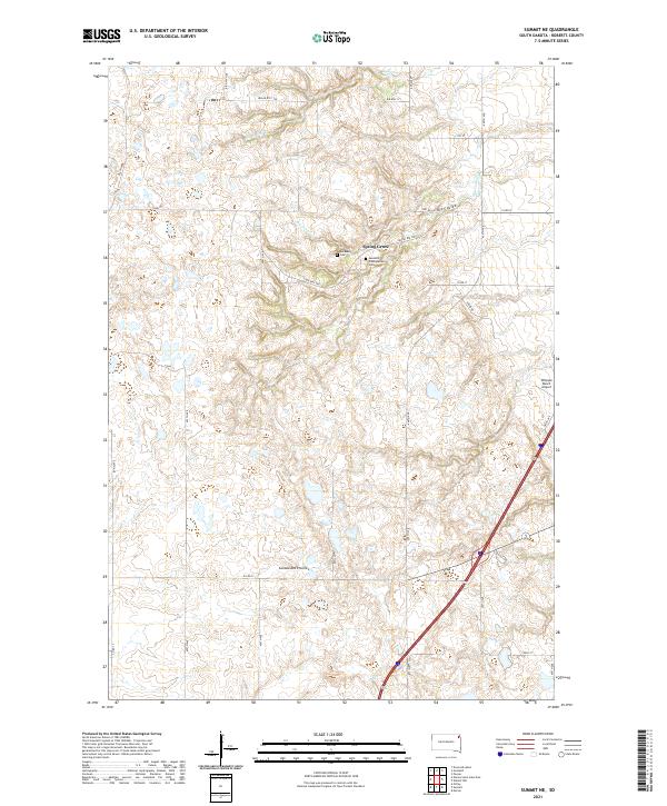
2021 Map of Summit NE
USGS Topo · Published 2021About this map
Coteau des Prairies defines the rolling topography of this Roberts County landscape, where the plateau surface is dissected by drainage systems like Big Coulee and Big Spring Cr. Centered near the community of Spring Grove, the map reveals a history of settlement and faith preserved in the Old Ascension Cem and the Ascension Presbyterian Cem. These sites, along with the network of Bureau of Indian Affairs roads such as BIA Hwy 1100 and Indian Rte 200, reflect the intricate connection between the land and the Sisseton Wahpeton Oyate legacy. To the east, the Whipple Ranch Airport provides a modern navigational landmark amidst a patchwork of section lines and water features like Big Spring.
Find a feature on this map
36 named features on this map. Tap any name to fly to it.
Don’t see what you’re looking for? This feature index may not catch every label — zoom into the map to look around manually.
Map Details
Editions of this 2021 Summit NE Map
This is the sole edition of this map. No revisions or reprints were ever made.
Other maps of this area

1916 · Peever
USGS Topo · 1:62,500

1918 · Peever
USGS Topo · 1:62,500

1953 · Milbank
USGS Topo · 1:250,000

1958 · Milbank
USGS Topo · 1:250,000

1970 · Summit
USGS Topo · 1:24,000

1970 · Summit NE
USGS Topo · 1:24,000

1970 · Marvin
USGS Topo · 1:24,000

1970 · Wilmot NW
USGS Topo · 1:24,000

1970 · Enemy Swim Lake East
USGS Topo · 1:24,000

1970 · Ortley
USGS Topo · 1:24,000
Featured Places
- Old Agency District, SD
- Spring Grove, SD
- Enemy Swim District, SD
- Big Course District, SD
- Roberts County, SD