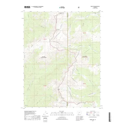
2019 Map of Summit Peak
USGS Topo · Published 2019About this map
Summit Peak and Montezuma Peak dominate this high-elevation landscape where the boundary between Archuleta and Conejos counties follows the Continental Divide. The topography is defined by the headwaters of several major drainages, including the Blanco River flowing west and the Adams Fork Conejos River flowing east. This 2019 survey documents the intricate network of alpine water bodies such as Lake Ann and Fish Lake, situated near the critical crossing at Gunsight Pass.
Find a feature on this map
38 named features on this map. Tap any name to fly to it.
Don’t see what you’re looking for? This feature index may not catch every label — zoom into the map to look around manually.
Map Details
Editions of this 2019 Summit Peak Map
This is the sole edition of this map. No revisions or reprints were ever made.
Other maps of this area

1913 · Summitville
USGS Topo · 1:125,000

1915 · Summitville
USGS Topo · 1:125,000

1945 · Durango
USGS Topo · 1:250,000

1953 · Durango
USGS Topo · 1:250,000

1954 · Durango
USGS Topo · 1:250,000

1957 · Chromo
USGS Topo · 1:62,500

1957 · Wolf Creek Pass
USGS Topo · 1:62,500

1957 · Chama Peak
USGS Topo · 1:62,500

1961 · Durango
USGS Topo · 1:250,000

1963 · Durango
USGS Topo · 1:250,000