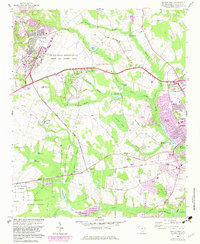
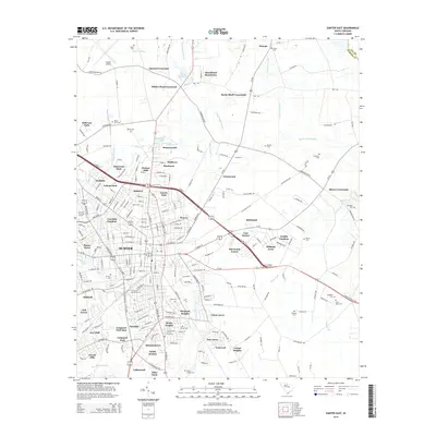
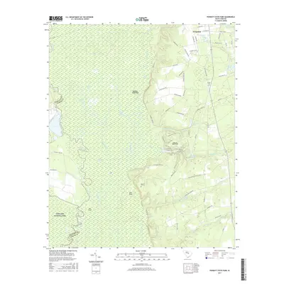
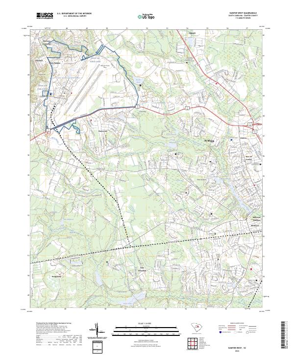
1957 Map of Sumter West
USGS Topo · Published 1983About this map
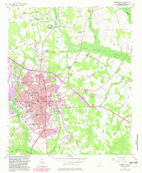
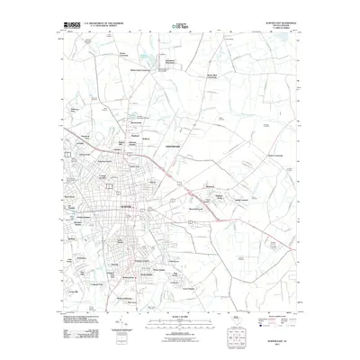
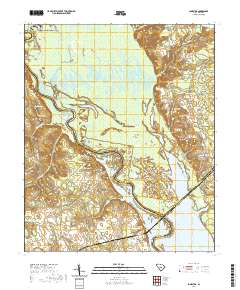
Shaw Air Force Base dominates the northwestern landscape of this mid-century survey, surrounded by the evolving residential developments of Shaw Heights and Pinckney Crossroad. The eastern edge transitions into the growing suburbs of Sumter, including neighborhoods like Bon Air Terrace and Heathley Wood. The southwestern portion of the map is defined by the dense woodlands of the Manchester State Forest, which contains the State Forest Nursery and several small family burial grounds such as Pitts Cem. Between the military base and the city, the land is etched with numerous blackwater features, including Mush Swamp, Green Swamp, and Cypress Bay. The industrial and agricultural heritage of the region is evident in the presence of the Seaboard Coast Line Railroad and several historic water-powered sites such as Loring Millpond and New Millpond.
Find a feature on this map
70 named features on this map. Tap any name to fly to it.
Don’t see what you’re looking for? This feature index may not catch every label — zoom into the map to look around manually.
Map Details
Editions of this 1957 Sumter West Map
3 editions found
Historical Maps of Sumter Through Time
33 maps found
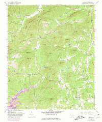
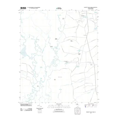
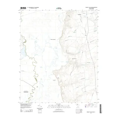
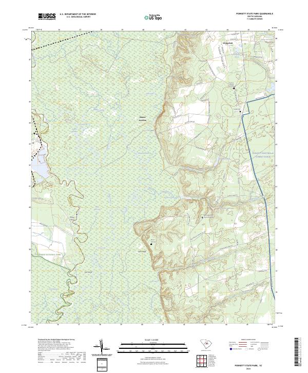
1953 Poinsett State Park
Sumter County, SC
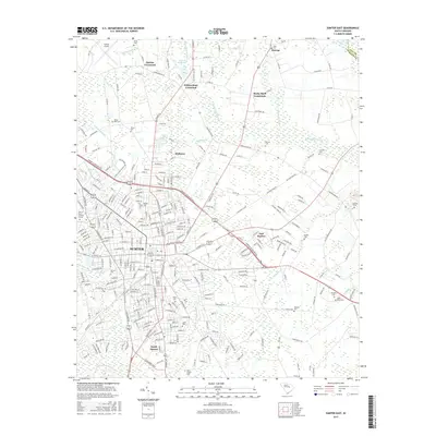
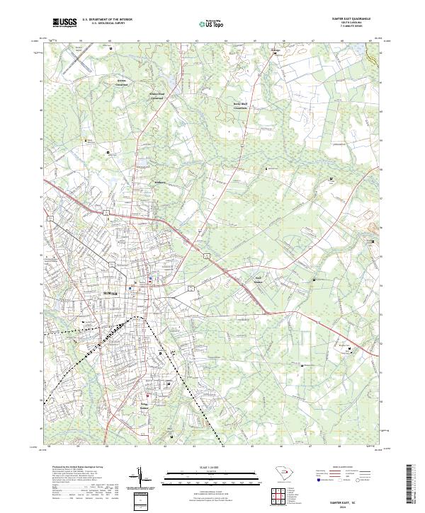
1957 Sumter East
Sumter County, SC
1957 Sumter West
Sumter County, SC
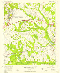
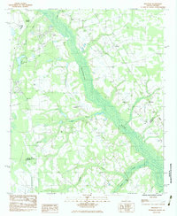
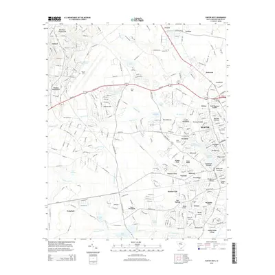
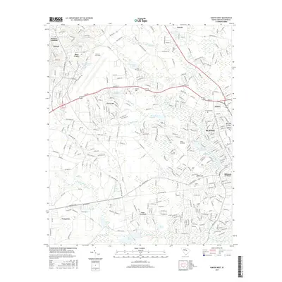
1961 Sumter West
Sumter County, SC
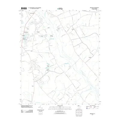
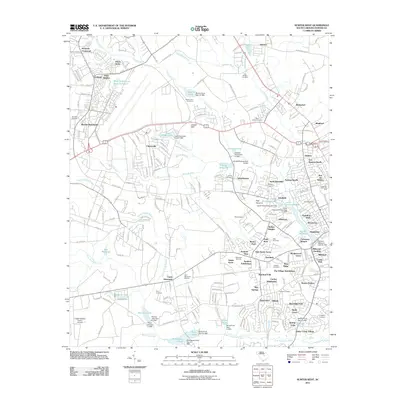
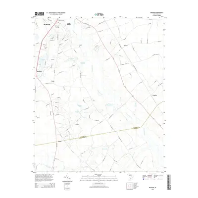
1983 Brogdon
Sumter County, SC
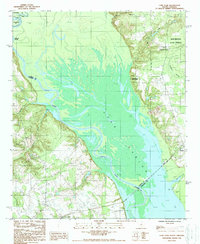
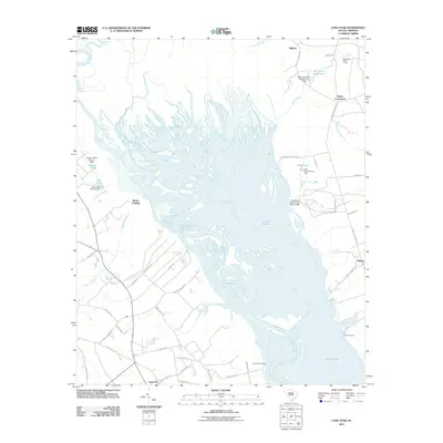
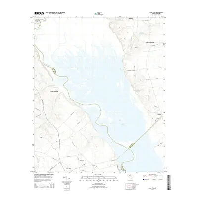
1988 Lone Star
Sumter County, SC
2011 Brogdon
Sumter County, SC
2011 Lone Star
Sumter County, SC
2011 Poinsett State Park
Sumter County, SC
2011 Sumter East
Sumter County, SC
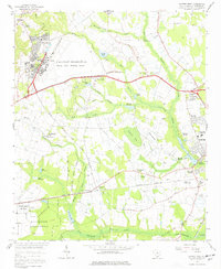
2011 Sumter West
Sumter County, SC
2014 Brogdon
Sumter County, SC
2014 Lone Star
Sumter County, SC
2014 Poinsett State Park
Sumter County, SC
2014 Sumter East
Sumter County, SC
2014 Sumter West
Sumter County, SC
2017 Brogdon
Sumter County, SC
2017 Lone Star
Sumter County, SC
2017 Poinsett State Park
Sumter County, SC
2017 Sumter East
Sumter County, SC
2017 Sumter West
Sumter County, SC
2020 Brogdon
Sumter County, SC
2020 Lone Star
Sumter County, SC
2020 Poinsett State Park
Sumter County, SC
2020 Sumter East
Sumter County, SC
2020 Sumter West
Sumter County, SC
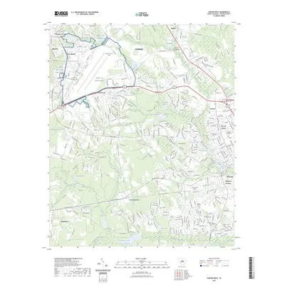
2023 Lone Star
Sumter County, SC
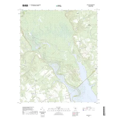
2023 Sumter West
Sumter County, SC
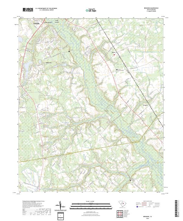
2024 Brogdon
Sumter County, SC
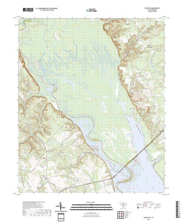
2024 Lone Star
Sumter County, SC
2024 Poinsett State Park
Sumter County, SC
2024 Sumter East
Sumter County, SC
2024 Sumter West
Sumter County, SC