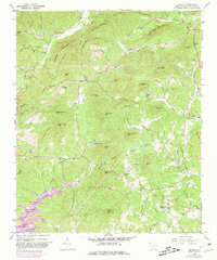
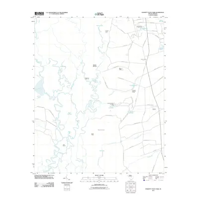
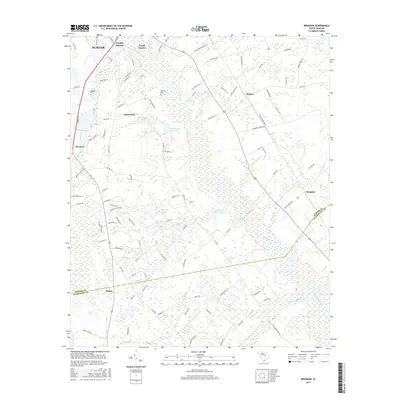
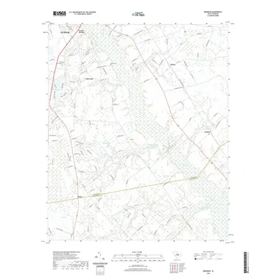
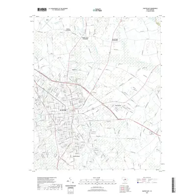
1983 Map of Brogdon
USGS Topo · Published 1983About this map
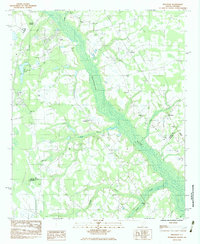
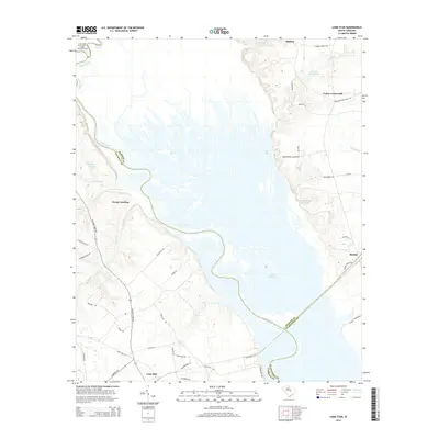
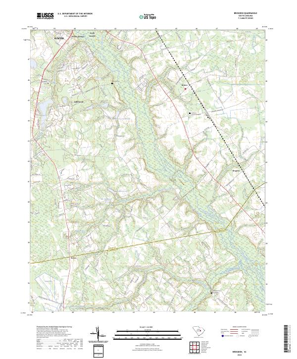
The Pocotaligo River dominates the center of this landscape on the border of Sumter and Clarendon counties, flanked by numerous small communities and country parishes. Settlement patterns in the early 1980s are defined by clusters near Pocalla Springs in the northwest and Brogdon in the east, with a notable concentration of religious sites like New Bethel Ch, Damascus Ch, and Bethesda Ch. The terrain is characterized by low-lying wetlands and "Bays," interspersed with infrastructure such as a Race Track near the northern boundary and a Sewage Treatment Plant along Pocalla Creek. Genealogists will find family-named locations such as Bradford Cem and Marshall Cem, while the rail corridor of the Seaboard line provides a clear marker of the era's transport network through the coastal plain.
Find a feature on this map
42 named features on this map. Tap any name to fly to it.
Don’t see what you’re looking for? This feature index may not catch every label — zoom into the map to look around manually.
Map Details
Editions of this 1983 Brogdon Map
This is the sole edition of this map. No revisions or reprints were ever made.
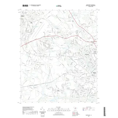
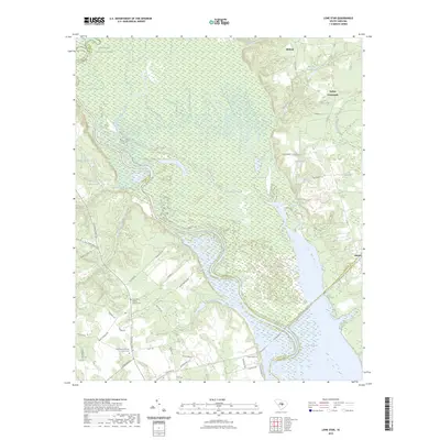
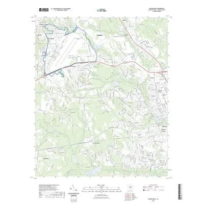
Historical Maps of Sumter Through Time
33 maps found
1953 Poinsett State Park
Sumter County, SC
1957 Sumter East
Sumter County, SC
1957 Sumter West
Sumter County, SC
1961 Sumter West
Sumter County, SC
1983 Brogdon
Sumter County, SC
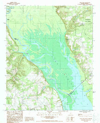
1988 Lone Star
Sumter County, SC
2011 Brogdon
Sumter County, SC
2011 Lone Star
Sumter County, SC
2011 Poinsett State Park
Sumter County, SC
2011 Sumter East
Sumter County, SC
2011 Sumter West
Sumter County, SC
2014 Brogdon
Sumter County, SC
2014 Lone Star
Sumter County, SC
2014 Poinsett State Park
Sumter County, SC
2014 Sumter East
Sumter County, SC
2014 Sumter West
Sumter County, SC
2017 Brogdon
Sumter County, SC
2017 Lone Star
Sumter County, SC
2017 Poinsett State Park
Sumter County, SC
2017 Sumter East
Sumter County, SC
2017 Sumter West
Sumter County, SC
2020 Brogdon
Sumter County, SC
2020 Lone Star
Sumter County, SC
2020 Poinsett State Park
Sumter County, SC
2020 Sumter East
Sumter County, SC
2020 Sumter West
Sumter County, SC
2023 Lone Star
Sumter County, SC
2023 Sumter West
Sumter County, SC
2024 Brogdon
Sumter County, SC
2024 Lone Star
Sumter County, SC
2024 Poinsett State Park
Sumter County, SC
2024 Sumter East
Sumter County, SC
2024 Sumter West
Sumter County, SC