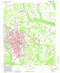
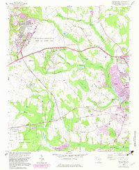
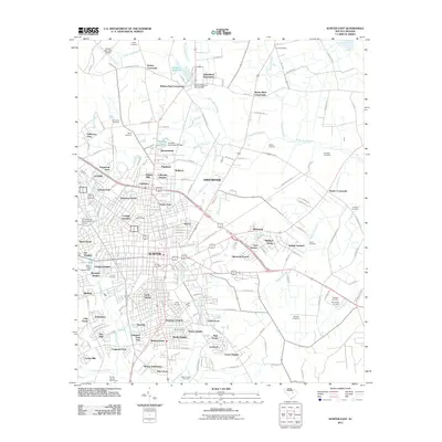
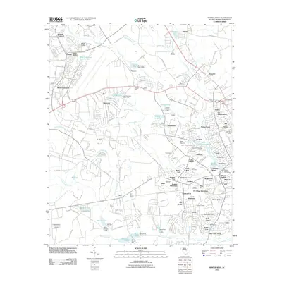
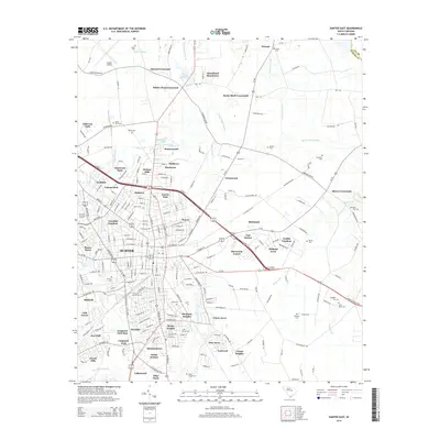
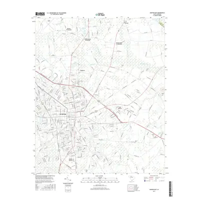
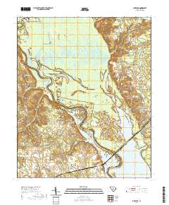
1957 Map of Sumter East
USGS Topo · Published 1983About this map
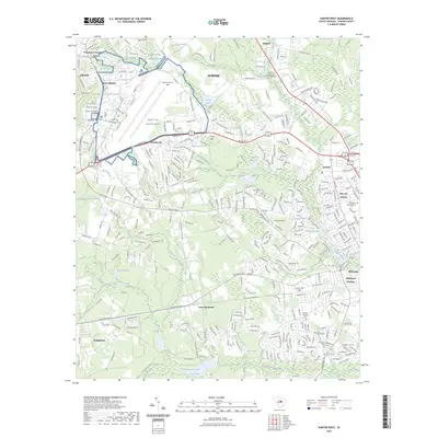
Sumter expands eastward toward the dense wetlands of Rocky Bluff Swamp and Cowper Swamp in this mid-century portrait of the county seat. The city's growth is marked by a dense concentration of educational and civic institutions, including Morris College, Edmunds High Sch, and the Savage Glover Sch. The local economy and social life are anchored by the Seaboard Coast Line railroad and numerous neighborhood landmarks like the Swan Lake Gardens and the Sunset Country Club.
Find a feature on this map
74 named features on this map. Tap any name to fly to it.
Don’t see what you’re looking for? This feature index may not catch every label — zoom into the map to look around manually.
Map Details
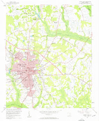
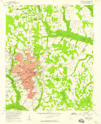
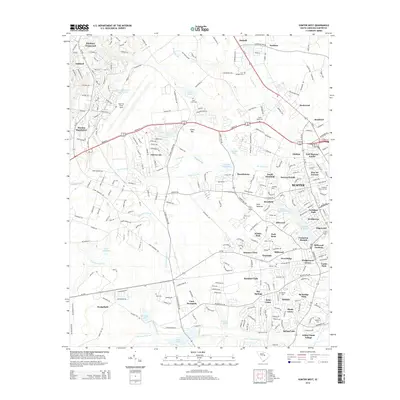
Editions of this 1957 Sumter East Map
3 editions found
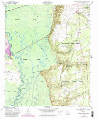
Historical Maps of Sumter Through Time
33 maps found
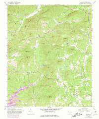
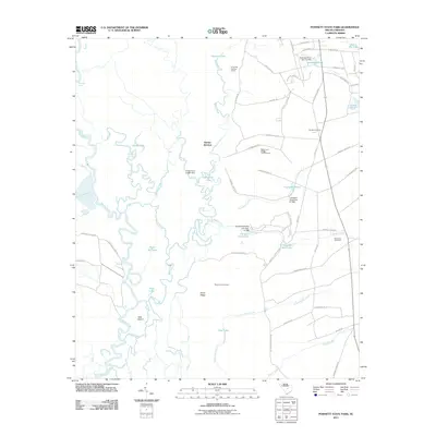
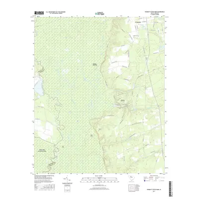
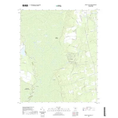
1953 Poinsett State Park
Sumter County, SC
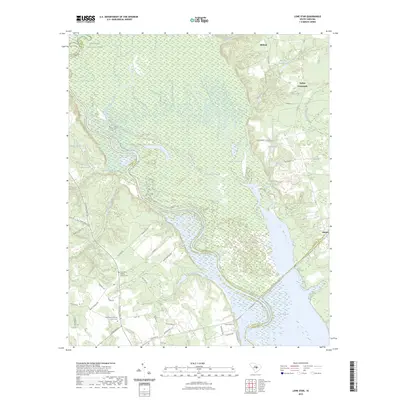
1957 Sumter East
Sumter County, SC
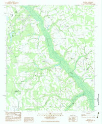
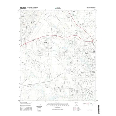
1957 Sumter West
Sumter County, SC
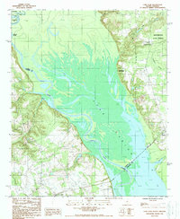
1961 Sumter West
Sumter County, SC
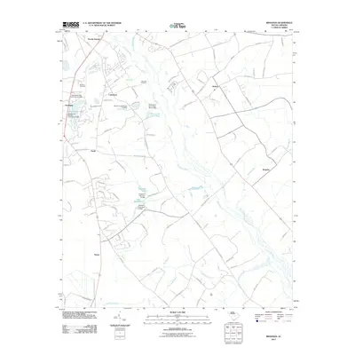
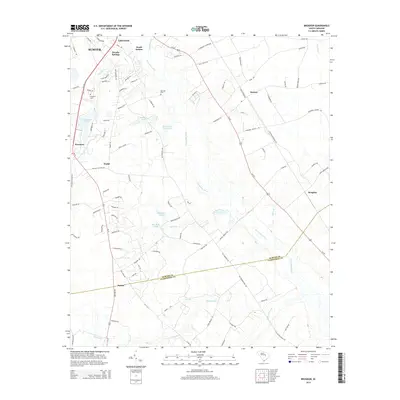
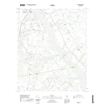
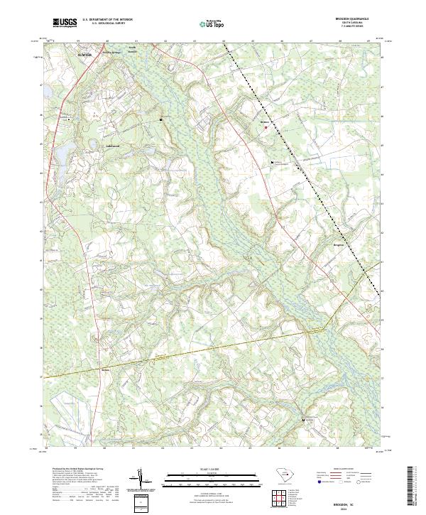
1983 Brogdon
Sumter County, SC
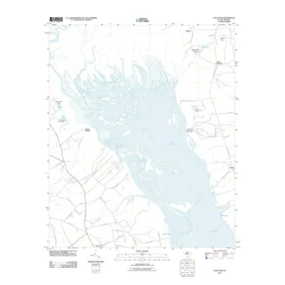
1988 Lone Star
Sumter County, SC
2011 Brogdon
Sumter County, SC
2011 Lone Star
Sumter County, SC
2011 Poinsett State Park
Sumter County, SC
2011 Sumter East
Sumter County, SC
2011 Sumter West
Sumter County, SC
2014 Brogdon
Sumter County, SC
2014 Lone Star
Sumter County, SC
2014 Poinsett State Park
Sumter County, SC
2014 Sumter East
Sumter County, SC
2014 Sumter West
Sumter County, SC
2017 Brogdon
Sumter County, SC
2017 Lone Star
Sumter County, SC
2017 Poinsett State Park
Sumter County, SC
2017 Sumter East
Sumter County, SC
2017 Sumter West
Sumter County, SC
2020 Brogdon
Sumter County, SC
2020 Lone Star
Sumter County, SC
2020 Poinsett State Park
Sumter County, SC
2020 Sumter East
Sumter County, SC
2020 Sumter West
Sumter County, SC
2023 Lone Star
Sumter County, SC
2023 Sumter West
Sumter County, SC
2024 Brogdon
Sumter County, SC
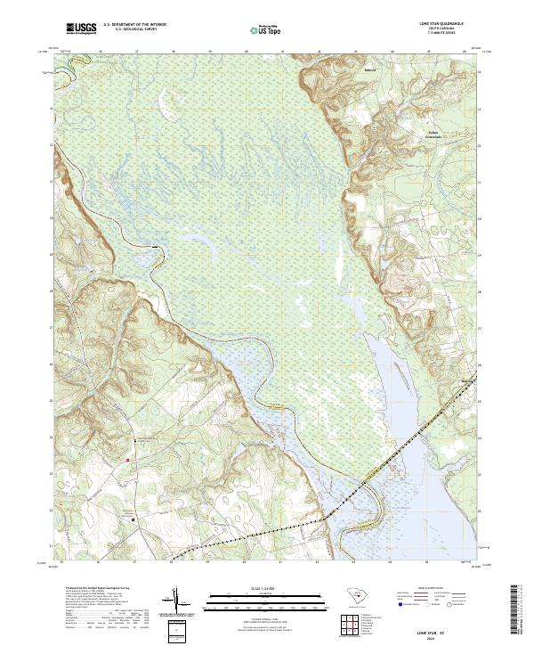
2024 Lone Star
Sumter County, SC
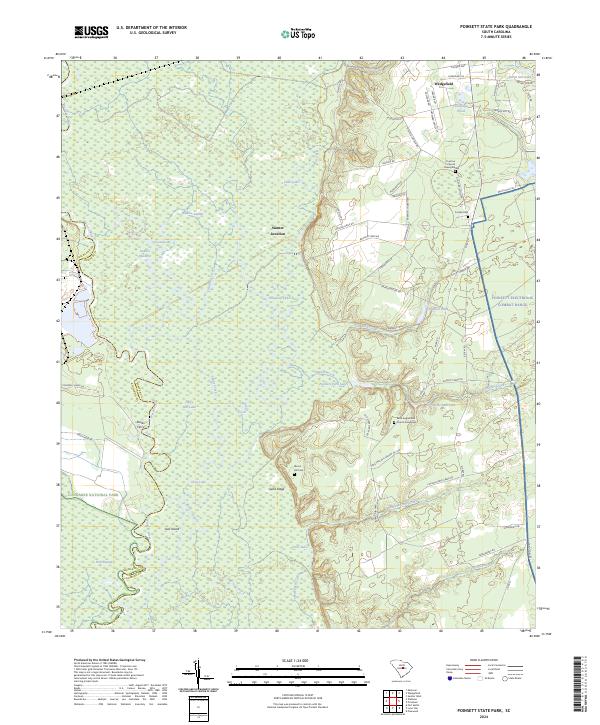
2024 Poinsett State Park
Sumter County, SC
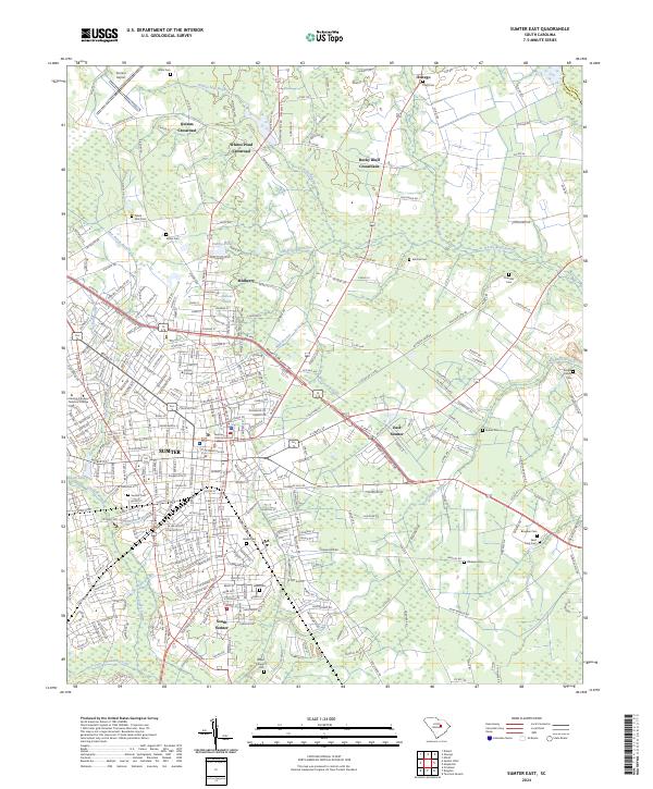
2024 Sumter East
Sumter County, SC
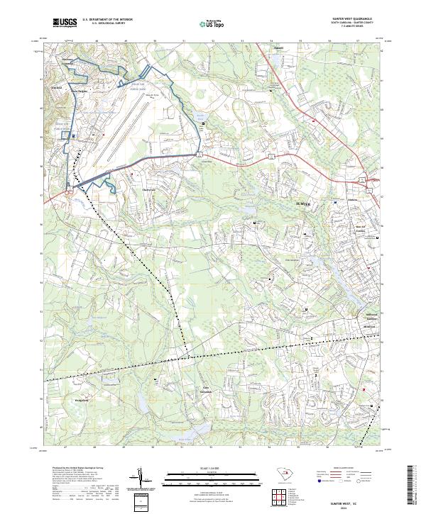
2024 Sumter West
Sumter County, SC