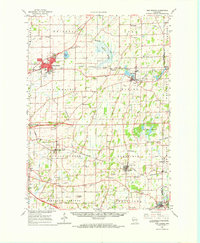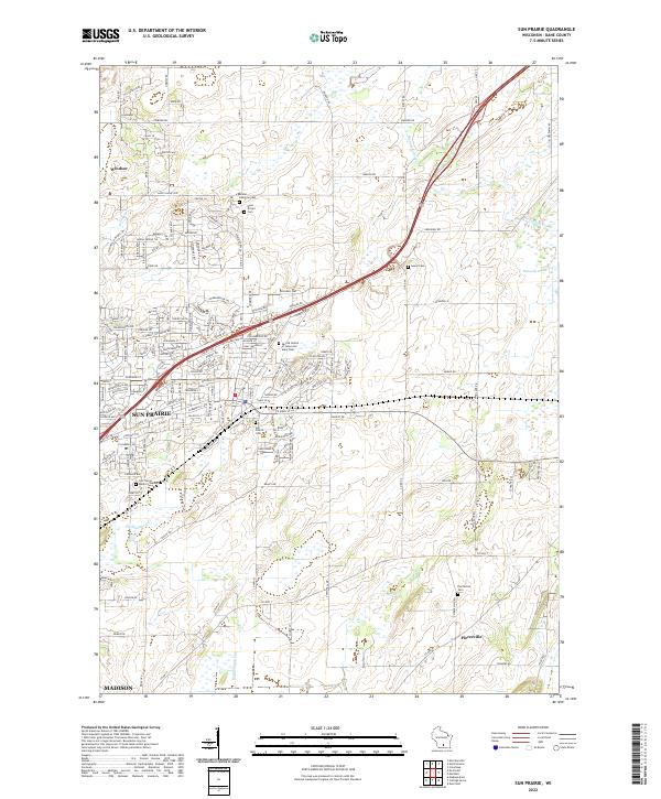
2022 Map of Sun Prairie
USGS Topo · Published 2022About this map
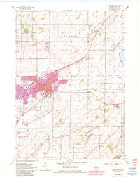
The growing city of Sun Prairie serves as the focal point for this survey, showcasing a landscape where suburban expansion meets the agricultural roots of Dane County. Numerous burial grounds are preserved across the area, including the Sacred Hearts of Jesus and Mary Cem and the Bristol Lutheran Cem to the north, alongside the historic Sun Prairie Cem closer to the city center. This network of cemeteries provides significant touchpoints for genealogists tracing early families in the region.
Find a feature on this map
160 named features on this map. Tap any name to fly to it.
Don’t see what you’re looking for? This feature index may not catch every label — zoom into the map to look around manually.
Map Details
Editions of this 2022 Sun Prairie Map
This is the sole edition of this map. No revisions or reprints were ever made.
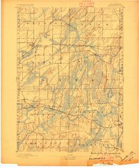
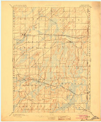
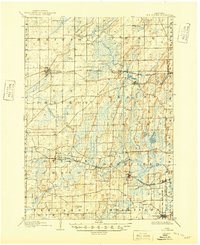
Historical Maps of Madison Through Time
7 maps found