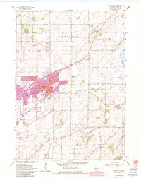
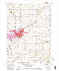
1962 Map of Sun Prairie
USGS Topo · Published 1983About this map
Sun Prairie anchors this detailed mapping of northeastern Dane County, where agricultural townships meet expanding urban borders. The landscape is defined by the glacial geography of the Maunesha River and Koshkonong Creek, with several Gravel Pits and a Quarry indicating the local extractive economy. The arrival of the Chicago Milwaukee St Paul and Pacific railroad historically shaped the town's orientation, visible here alongside major thoroughfares like Main St and Windsor St.
Find a feature on this map
29 named features on this map. Tap any name to fly to it.
Don’t see what you’re looking for? This feature index may not catch every label — zoom into the map to look around manually.
Map Details
Editions of this 1962 Sun Prairie Map
5 editions found
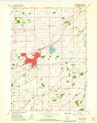
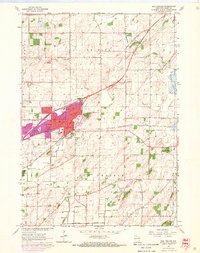
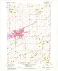
Other maps of this area

1890 · Madison
USGS Topo · 1:62,500

1890 · Sun Prairie
USGS Topo · 1:62,500

1892 · Madison
USGS Topo · 1:62,500

1896 · Sun Prairie
USGS Topo · 1:62,500

1901 · Poynette
USGS Topo · 1:62,500

1904 · Madison
USGS Topo · 1:62,500

1905 · Sun Prairie
USGS Topo · 1:62,500

1906 · Madison
USGS Topo · 1:62,500

1907 · Sun Prairie
USGS Topo · 1:62,500

1955 · Columbus
USGS Topo · 1:62,500