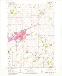
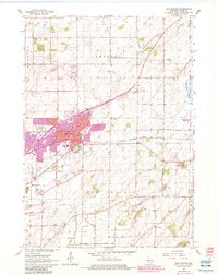
1962 Map of Sun Prairie
USGS Topo · Published 1975About this map
The growing town of Sun Prairie serves as the focal point of this 1962 survey, with significant urban revisions from 1969 and 1974 indicated in purple. The transportation network is defined by the Chicago Milwaukee St Paul and Pacific railroad, which bisects the community and connects it to the surrounding agricultural landscape of Bristol and Burke townships. Local landmarks such as Angell Park and the municipal Sewage Disposal system show the development of public infrastructure during the mid-20th century.
Find a feature on this map
29 named features on this map. Tap any name to fly to it.
Don’t see what you’re looking for? This feature index may not catch every label — zoom into the map to look around manually.
Map Details
Editions of this 1962 Sun Prairie Map
5 editions found
Other maps of this area

1890 · Madison
USGS Topo · 1:62,500

1890 · Sun Prairie
USGS Topo · 1:62,500

1892 · Madison
USGS Topo · 1:62,500

1896 · Sun Prairie
USGS Topo · 1:62,500

1901 · Poynette
USGS Topo · 1:62,500

1904 · Madison
USGS Topo · 1:62,500

1905 · Sun Prairie
USGS Topo · 1:62,500

1906 · Madison
USGS Topo · 1:62,500

1907 · Sun Prairie
USGS Topo · 1:62,500

1955 · Columbus
USGS Topo · 1:62,500