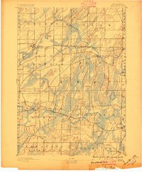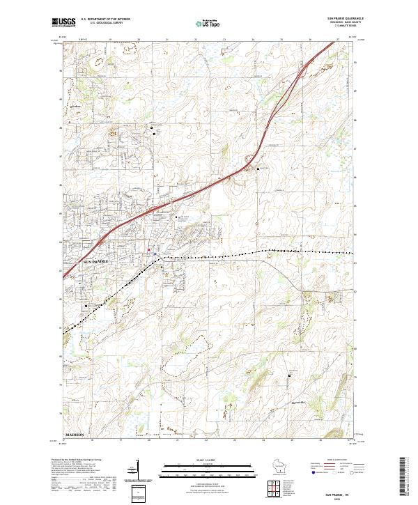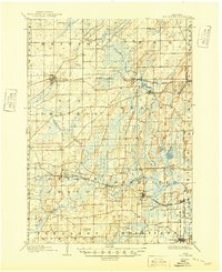
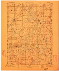
1907 Map of Sun Prairie
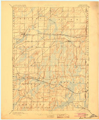
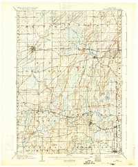
USGS Topo · Published 1949About this map
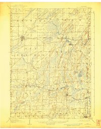
Sun Prairie and its surrounding townships define this early twentieth-century landscape, characterized by a dense network of small agricultural settlements and emerging rail corridors. The topography is marked by glacial features, including the Brazee Swamp and the prominent Liberty Mound, while drainage is provided by the meandering Koshkonong Creek and Waterloo Creek. The era's transportation infrastructure is centered on several major lines, such as the Chicago Milwaukee and Madison Line and the Chicago Northwestern RR, which supported the growth of towns like Deerfield and Marshall.
Find a feature on this map
46 named features on this map. Tap any name to fly to it.
Don’t see what you’re looking for? This feature index may not catch every label — zoom into the map to look around manually.
Map Details
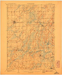
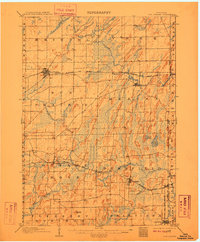
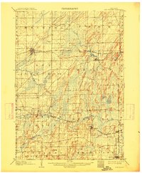
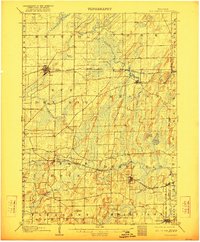
Editions of this 1907 Sun Prairie Map
8 editions found
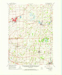
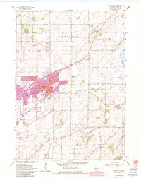
Historical Maps of Madison Through Time
7 maps found