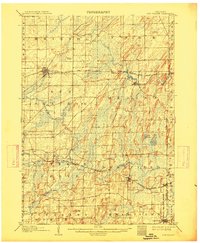
1907 Map of Sun Prairie
USGS Topo · Published 1914About this map
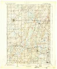
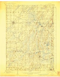
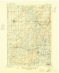
Glacial drumlins and wetland marshes dominate the landscape of eastern Dane County in this 1905 survey, illustrating a region defined by agricultural expansion and a dense network of early railroads. The village of Sun Prairie stands as a primary hub, situated near the headwaters of Koshkonong Creek and surrounded by numerous unnamed hills and ridges. The map captures the significant drainage patterns of the area, including the sprawling Brazee Swamp and the meandering course of Waterloo Creek, which passes through Marshall.
Find a feature on this map
41 named features on this map. Tap any name to fly to it.
Don’t see what you’re looking for? This feature index may not catch every label — zoom into the map to look around manually.
Map Details
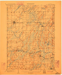
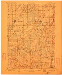
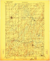
Editions of this 1907 Sun Prairie Map
8 editions found

Other maps of this area

1889 · Evansville
USGS Topo · 1:62,500

1890 · Madison
USGS Topo · 1:62,500

1890 · Sun Prairie
USGS Topo · 1:62,500

1890 · Stoughton
USGS Topo · 1:62,500

1891 · Waterloo
USGS Topo · 1:62,500

1891 · Koshkonong
USGS Topo · 1:62,500

1892 · Madison
USGS Topo · 1:62,500

1894 · Waterloo
USGS Topo · 1:62,500

1894 · Evansville
USGS Topo · 1:62,500

1894 · Koshkonong
USGS Topo · 1:62,500