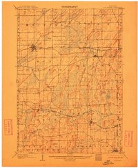
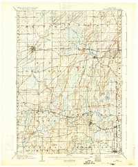
1907 Map of Sun Prairie
USGS Topo · Published 1912About this map
Sun Prairie and its surrounding agricultural townships appear here during a period of significant railway development in Dane County. The landscape is defined by the complex glacial topography of the region, featuring numerous wetland systems like Brazee Swamp and notable elevations such as Liberty Mound. This 1905 survey documents the early 20th-century reliance on rail networks for transporting livestock and grain, with the Chicago Milwaukee And ST. Paul RR and the Chicago And Northwestern RR threading through established dairy country. These lines connected smaller trade hubs like Marshall, Deerfield, and Cottage Grove to larger markets, while providing vital transit for now-smaller locales like Nora and Vilas. The map also captures the intricate drainage patterns of the Waterloo Creek and Koshkonong Creek watersheds, which dictated the placement of early settlements and roads throughout the southern Wisconsin prairies.
Find a feature on this map
41 named features on this map. Tap any name to fly to it.
Don’t see what you’re looking for? This feature index may not catch every label — zoom into the map to look around manually.
Map Details
Editions of this 1907 Sun Prairie Map
8 editions found

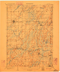
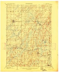
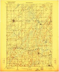
Other maps of this area

1889 · Evansville
USGS Topo · 1:62,500

1890 · Madison
USGS Topo · 1:62,500

1890 · Sun Prairie
USGS Topo · 1:62,500

1890 · Stoughton
USGS Topo · 1:62,500

1891 · Waterloo
USGS Topo · 1:62,500

1891 · Koshkonong
USGS Topo · 1:62,500

1892 · Madison
USGS Topo · 1:62,500

1894 · Waterloo
USGS Topo · 1:62,500

1894 · Evansville
USGS Topo · 1:62,500

1894 · Koshkonong
USGS Topo · 1:62,500