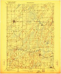
1907 Map of Sun Prairie
USGS Topo · Published 1922About this map
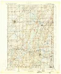
The agrarian landscape of eastern Dane County is defined here by a network of early 20th-century rail lines and small agricultural hubs. The Chicago Milwaukee and St Paul RR serves the growing town of Sun Prairie, while the Chicago and Northwestern RR links Cottage Grove and Deerfield. This era shows a transition in land use, where the glacial topography of drumlins and wetlands dictates the placement of settlements and transport routes. Natural features like the Brazee Swamp and the prominent Liberty Mound stand out against the surveyed township grid. Along the eastern edge, the Jefferson County line separates the bustling rail stops from the quiet reaches of Waterloo Creek and Koshkonong Creek, where smaller hamlets like Kroghville and London supported the surrounding farmsteads before modern highway development reorganized the region.
Find a feature on this map
42 named features on this map. Tap any name to fly to it.
Don’t see what you’re looking for? This feature index may not catch every label — zoom into the map to look around manually.
Map Details
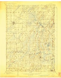
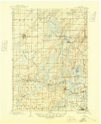
Editions of this 1907 Sun Prairie Map
8 editions found

Other maps of this area

1889 · Evansville
USGS Topo · 1:62,500

1890 · Madison
USGS Topo · 1:62,500

1890 · Sun Prairie
USGS Topo · 1:62,500

1890 · Stoughton
USGS Topo · 1:62,500

1891 · Waterloo
USGS Topo · 1:62,500

1891 · Koshkonong
USGS Topo · 1:62,500

1892 · Madison
USGS Topo · 1:62,500

1894 · Waterloo
USGS Topo · 1:62,500

1894 · Evansville
USGS Topo · 1:62,500

1894 · Koshkonong
USGS Topo · 1:62,500