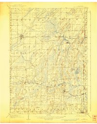
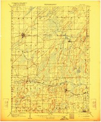
1907 Map of Sun Prairie
USGS Topo · Published 1944About this map
Sun Prairie and the surrounding townships of Dane and Jefferson counties are defined by a complex glacial landscape and a mature late-Victorian rail network. Two primary railroad lines dictate the placement of local commerce: the Chicago Milwaukee and St Paul RR serves the northern corridor through Marshall and Deansville, while the Chicago and Northwestern RR links Cottage Grove, Deerfield, and London. Between these corridors, the terrain is marked by significant wetlands like Brazee Swamp and notable heights such as Liberty Mound. The map also captures several smaller crossroad settlements, including Vilas, Nora, and Kroghville, which served as vital community hubs for rural farmsteads at the turn of the century. The drainage patterns of Waterloo Creek and Koshkonong Creek weave through the undulating hills, punctuated by Goose Lake and Mud Lake in the southeastern quadrant.
Find a feature on this map
36 named features on this map. Tap any name to fly to it.
Don’t see what you’re looking for? This feature index may not catch every label — zoom into the map to look around manually.
Map Details
Editions of this 1907 Sun Prairie Map
8 editions found

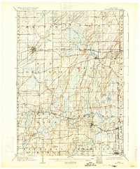
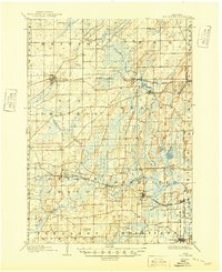
Other maps of this area

1889 · Evansville
USGS Topo · 1:62,500

1890 · Madison
USGS Topo · 1:62,500

1890 · Sun Prairie
USGS Topo · 1:62,500

1890 · Stoughton
USGS Topo · 1:62,500

1891 · Waterloo
USGS Topo · 1:62,500

1891 · Koshkonong
USGS Topo · 1:62,500

1892 · Madison
USGS Topo · 1:62,500

1894 · Waterloo
USGS Topo · 1:62,500

1894 · Evansville
USGS Topo · 1:62,500

1894 · Koshkonong
USGS Topo · 1:62,500