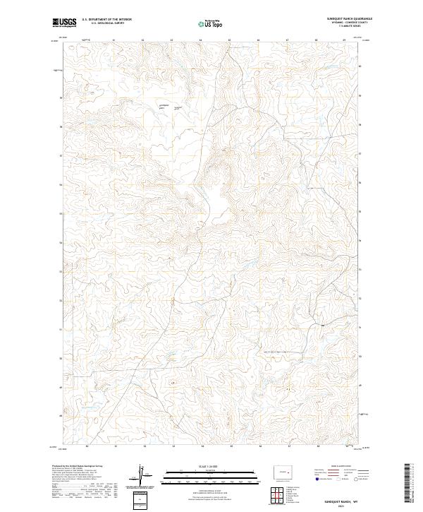
2021 Map of Sundquist Ranch
USGS Topo · Published 2021About this map
Sundquist Ranch sits as a central landmark in this portion of Converse County, where the high plains landscape is defined by the ephemeral drainage patterns of the northern Powder River Basin. The terrain features the broad Sundquist Flats, an area of relatively level ground surrounded by the dissected breaks of the Wyoming ranchlands. Water management and natural flow are critical to the character of this landscape, as seen in the paths of Fetterman Cr and Lightning Cr as they wind through the township boundaries. The map provides a clear look at the rural infrastructure of the 2020s, tracing the section lines of t35n r72w and adjacent townships that dictate land ownership and grazing boundaries in this livestock-oriented region. These patterns of development reflect a long-standing continuity of land use where names like S Fork Box Cr mark the vital water sources for local ranching operations.
Find a feature on this map
9 named features on this map. Tap any name to fly to it.
Don’t see what you’re looking for? This feature index may not catch every label — zoom into the map to look around manually.
Map Details
Editions of this 2021 Sundquist Ranch Map
This is the sole edition of this map. No revisions or reprints were ever made.
Other maps of this area

1949 · Sundquist Ranch
USGS Topo · 1:24,000

1949 · Orpha
USGS Topo · 1:24,000

1949 · Gilbert Lake
USGS Topo · 1:24,000

1949 · Douglas
USGS Topo · 1:24,000

1949 · Clausen Ranch
USGS Topo · 1:24,000

1949 · Antelope Creek
USGS Topo · 1:24,000

1950 · Clausen Ranch
USGS Topo · 1:24,000

1950 · Gilbert Lake
USGS Topo · 1:24,000

1950 · Douglas
USGS Topo · 1:24,000

1950 · Orpha
USGS Topo · 1:24,000