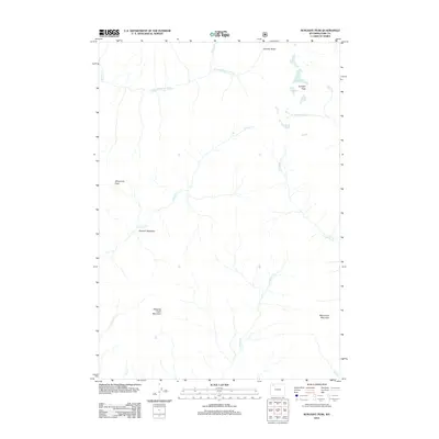
2012 Map of Sunlight Peak
USGS Topo · Published 2012About this map
Sunlight Peak and Whirlwind Peak define the high elevations of this Park County landscape, where the headwaters of the N Fork Shoshone River gather from numerous mountain drainages. The area is characterized by a dense network of creeks, including Gunbarrel Cr and Clearwater Cr, which carve through the high-altitude terrain toward the river valley. Sparse human markings in this high-country environment include the Grinnell Meadows area, situated near the center of the map. The topography is anchored by prominent peaks like Sleeping Giant Mountain and Monument Mountain, while the northern reaches open into the Silvertip Basin. This 2012 survey illustrates the hydrological complexity of the Absaroka range, capturing the specific paths of seasonal and permanent watercourses such as Mormon Cr and Torrent Cr before they reach the main river channel.
Find a feature on this map
16 named features on this map. Tap any name to fly to it.
Don’t see what you’re looking for? This feature index may not catch every label — zoom into the map to look around manually.
Map Details
Editions of this 2012 Sunlight Peak Map
This is the sole edition of this map. No revisions or reprints were ever made.
Other maps of this area

1893 · Ishawooa
USGS Topo · 1:125,000

1895 · Ishawooa
USGS Topo · 1:125,000

1896 · Crandall Creek
USGS Topo · 1:125,000

1899 · Crandall
USGS Topo · 1:125,000

1899 · Ishawooa
USGS Topo · 1:125,000

1955 · Cody
USGS Topo · 1:250,000

1956 · Sunlight Peak
USGS Topo · 1:62,500

1956 · Dead Indian Peak
USGS Topo · 1:62,500

1958 · Cody
USGS Topo · 1:250,000

1962 · Cody
USGS Topo · 1:250,000