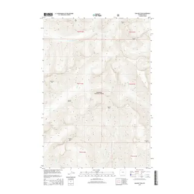
2015 Map of Sunlight Peak
USGS Topo · Published 2015About this map
Sunlight Peak and the surrounding high-altitude terrain of the Absaroka Range dominate this 2015 survey of the Shoshone National Forest. The landscape is defined by its drainage systems, where the N Fork Shoshone River and numerous tributaries such as Grinnell Cr and Gunbarrel Cr carve through the mountain passes. This USGS study details a largely undeveloped wilderness, preserved for its natural state and extreme relief. Significant elevations include Whirlwind Peak, Moose Mtn, and Sleeping Giant Mtn, while more sheltered areas like Grinnell Meadows and Silvertip Basin provide localized contrast to the steep slopes. The absence of traditional settlements or infrastructure highlights the protected status of these lands within one of the oldest national forests in the United States, offering a primary reference for the hydrography and topography of this remote section of Park County.
Find a feature on this map
25 named features on this map. Tap any name to fly to it.
Don’t see what you’re looking for? This feature index may not catch every label — zoom into the map to look around manually.
Map Details
Editions of this 2015 Sunlight Peak Map
This is the sole edition of this map. No revisions or reprints were ever made.
Other maps of this area

1893 · Ishawooa
USGS Topo · 1:125,000

1895 · Ishawooa
USGS Topo · 1:125,000

1896 · Crandall Creek
USGS Topo · 1:125,000

1899 · Crandall
USGS Topo · 1:125,000

1899 · Ishawooa
USGS Topo · 1:125,000

1955 · Cody
USGS Topo · 1:250,000

1956 · Sunlight Peak
USGS Topo · 1:62,500

1956 · Dead Indian Peak
USGS Topo · 1:62,500

1958 · Cody
USGS Topo · 1:250,000

1962 · Cody
USGS Topo · 1:250,000