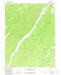
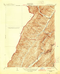
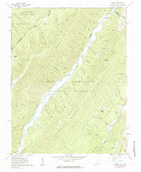
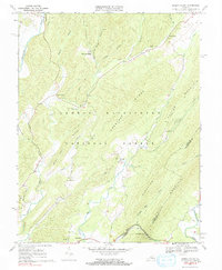
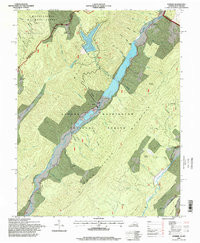
1961 Map of Sunrise
USGS Topo · Published 1981This historical map portrays the area of Sunrise in 1961, primarily covering Bath County as well as portions of West Virginia. Featuring a scale of 1:24000, this map provides a highly detailed snapshot of the terrain, roads, buildings, counties, and historical landmarks in the Sunrise region at the time. Published in 1981, it is one of 2 known editions of this map due to revisions or reprints.
Find a feature on this map
53 named features on this map. Tap any name to fly to it.
Don’t see what you’re looking for? This feature index may not catch every label — zoom into the map to look around manually.
Map Details
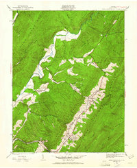
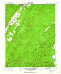
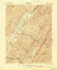
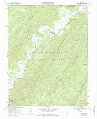
Editions of this 1961 Sunrise Map
2 editions found
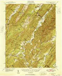
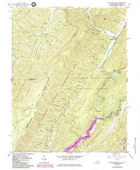
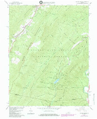
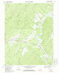
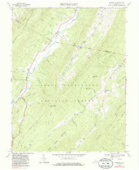
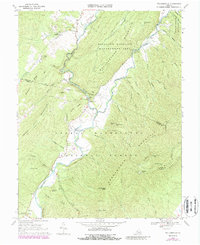
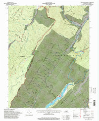
Historical Maps of Sunrise Through Time
19 maps found

1930 Mountain Grove
Bath County, VA
1930 Warm Springs Run
Bath County, VA
1931 Healing Springs
Bath County, VA
1933 Healing Springs
Bath County, VA
1933 Mountain Grove
Bath County, VA
1933 Warm Springs Run
Bath County, VA

1946 Williamsville
Bath County, VA
1949 Williamsville
Bath County, VA
1961 Mountain Grove
Bath County, VA
1961 Sunrise
Bath County, VA
1966 Healing Springs
Bath County, VA
1968 Bath Alum
Bath County, VA
1969 Burnsville
Bath County, VA
1969 Green Valley
Bath County, VA
1969 Nimrod Hall
Bath County, VA
1969 Williamsville
Bath County, VA
1995 Mountain Grove
Bath County, VA
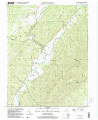
1995 Sunrise
Bath County, VA
1999 Williamsville
Bath County, VA