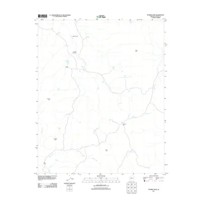
2011 Map of Sunrise Peak
USGS Topo · Published 2011About this map
Sunrise Peak dominates the western landscape of this Yavapai County terrain, where a complex network of seasonal drainages and cattle-ranching infrastructure defines the modern land use. The presence of Triangle N Camp and Bear Creek Camp suggests a tradition of remote livestock management, supported by numerous water catchments like Walker Tank, Cripple Cat Tank, and West Mesa Tank. These tanks are critical landmarks in a dry environment where Cow Creek and Sheep Creek carve deep courses through the earth.
Find a feature on this map
35 named features on this map. Tap any name to fly to it.
Don’t see what you’re looking for? This feature index may not catch every label — zoom into the map to look around manually.
Map Details
Editions of this 2011 Sunrise Peak Map
This is the sole edition of this map. No revisions or reprints were ever made.
Other maps of this area

1886 · Diamond Creek
USGS Topo · 1:250,000

1892 · Diamond Creek
USGS Topo · 1:250,000

1923 · Signal
USGS Topo · 1:250,000

1942 · Signal
USGS Topo · 1:250,000

1948 · Williams
USGS Topo · 1:250,000

1950 · Prescott
USGS Topo · 1:250,000

1954 · Prescott
USGS Topo · 1:250,000

1954 · Williams
USGS Topo · 1:250,000

1956 · Williams
USGS Topo · 1:250,000

1958 · Prescott
USGS Topo · 1:250,000