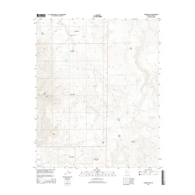
2014 Map of Sunrise Peak
USGS Topo · Published 2014About this map
Sunrise Peak and the surrounding Mohon Mountains define the high relief of this Yavapai County landscape. The terrain is characterized by a complex network of seasonal water sources and drainages, including Sheep Cr, Cow Cr, and Bear Cr. A high density of man-made and natural water points, such as Walker Tank, Cripple Cat Tank, and Sunrise Spring, suggests a landscape heavily utilized for ranching and livestock management within the t18n r9w township and range system. Flatlands and basins like Johnson Flat and Jackass Basin are interspersed between prominent landforms like West Mesa and Indian Hill. This 2014 survey captures the intricate cattle-country infrastructure, from Big Ike Tank to Happy Hollow Canyon, revealing how water was managed across this arid Arizona interior.
Find a feature on this map
40 named features on this map. Tap any name to fly to it.
Don’t see what you’re looking for? This feature index may not catch every label — zoom into the map to look around manually.
Map Details
Editions of this 2014 Sunrise Peak Map
This is the sole edition of this map. No revisions or reprints were ever made.
Other maps of this area

1886 · Diamond Creek
USGS Topo · 1:250,000

1892 · Diamond Creek
USGS Topo · 1:250,000

1923 · Signal
USGS Topo · 1:250,000

1942 · Signal
USGS Topo · 1:250,000

1948 · Williams
USGS Topo · 1:250,000

1950 · Prescott
USGS Topo · 1:250,000

1954 · Prescott
USGS Topo · 1:250,000

1954 · Williams
USGS Topo · 1:250,000

1956 · Williams
USGS Topo · 1:250,000

1958 · Prescott
USGS Topo · 1:250,000