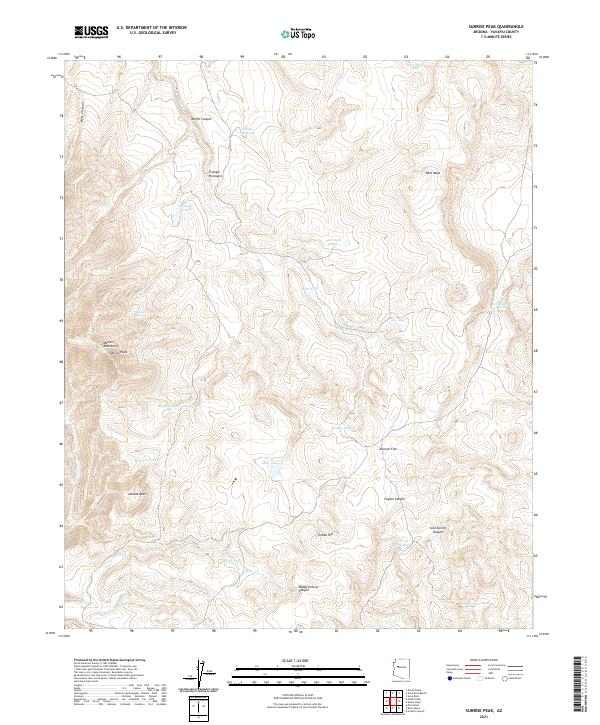
2021 Map of Sunrise Peak
USGS Topo · Published 2021About this map
Sunrise Peak and the Mohon Mountains define the high country of this Arizona interior, where the landscape is marked by a network of drainage systems and isolated water sources. The area is characterized by high-elevation landforms including Johnson Flat, Indian Hill, and the wide expanse of Jackass Basin. A sparse but essential infrastructure of ranching and wildlife management is evident through the numerous catchment features such as Wildman Tank, Big Ikie Tank, and Cherry Tree Tank.
Find a feature on this map
35 named features on this map. Tap any name to fly to it.
Don’t see what you’re looking for? This feature index may not catch every label — zoom into the map to look around manually.
Map Details
Editions of this 2021 Sunrise Peak Map
This is the sole edition of this map. No revisions or reprints were ever made.
Other maps of this area

1886 · Diamond Creek
USGS Topo · 1:250,000

1892 · Diamond Creek
USGS Topo · 1:250,000

1923 · Signal
USGS Topo · 1:250,000

1942 · Signal
USGS Topo · 1:250,000

1948 · Williams
USGS Topo · 1:250,000

1950 · Prescott
USGS Topo · 1:250,000

1954 · Prescott
USGS Topo · 1:250,000

1954 · Williams
USGS Topo · 1:250,000

1956 · Williams
USGS Topo · 1:250,000

1958 · Prescott
USGS Topo · 1:250,000