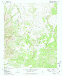
1980 Map of Sunrise Peak
USGS Topo · Published 1980About this map
The Mohon Mountains dominate this high-desert landscape in Yavapai County, where water resources dictate the patterns of human activity. The map reveals a land structured by stock-raising and ranching, evidenced by the numerous water catchments like Cripple Cat Tank, Malpais Tank, and Cherry Tree Tank that dot the terrain. Significant land grant boundaries are visible here, specifically the western edge of the Luis Maria Baca Float No 5, a remnant of colonial-era land partitioning that contrasts with the surrounding township-and-range system.
Find a feature on this map
45 named features on this map. Tap any name to fly to it.
Don’t see what you’re looking for? This feature index may not catch every label — zoom into the map to look around manually.
Map Details
Editions of this 1980 Sunrise Peak Map
This is the sole edition of this map. No revisions or reprints were ever made.
Other maps of this area

1886 · Diamond Creek
USGS Topo · 1:250,000

1892 · Diamond Creek
USGS Topo · 1:250,000

1923 · Signal
USGS Topo · 1:250,000

1942 · Signal
USGS Topo · 1:250,000

1948 · Williams
USGS Topo · 1:250,000

1950 · Prescott
USGS Topo · 1:250,000

1954 · Prescott
USGS Topo · 1:250,000

1954 · Williams
USGS Topo · 1:250,000

1956 · Williams
USGS Topo · 1:250,000

1958 · Prescott
USGS Topo · 1:250,000