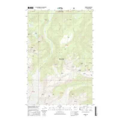
2017 Map of Sunrise
USGS Topo · Published 2017About this map
Sunrise serves as the focal point for this high-elevation survey of the northeastern slopes of Mount Rainier, where the Sunrise Park Rd terminates at the visitor hub of Yakima Park. The landscape is defined by the sharp transition from the subalpine meadows of Berkeley Park and Grand Park to the glacial ice and high-altitude ridges of the Sourdough Mountains and the Sluiskin Mountains.
Find a feature on this map
72 named features on this map. Tap any name to fly to it.
Don’t see what you’re looking for? This feature index may not catch every label — zoom into the map to look around manually.
Map Details
Editions of this 2017 Sunrise Map
This is the sole edition of this map. No revisions or reprints were ever made.
Other maps of this area

1913 · Cedar Lake
USGS Topo · 1:125,000

1924 · Mt Rainier
USGS Topo · 1:96,000

1928 · Mt Rainier
USGS Topo · 1:125,000

1950 · Yakima
USGS Topo · 1:250,000

1956 · Greenwater
USGS Topo · 1:62,500

1956 · Enumclaw
USGS Topo · 1:62,500

1957 · Wenatchee
USGS Topo · 1:250,000

1958 · Yakima
USGS Topo · 1:250,000

1961 · Yakima
USGS Topo · 1:250,000
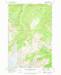
1971 · Sunrise
USGS Topo · 1:24,000