
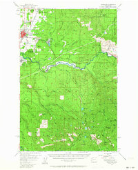
1956 Map of Enumclaw
USGS Topo · Published 1958About this map
Enumclaw serves as the gateway between the agricultural plains of the King County lowlands and the industrial timberlands of the Snoqualmie National Forest during the mid-1950s. The landscape is defined by the heavy infrastructure of the era, including the massive Mud Mtn Dam and spillway on the White River, and the Pacific Northern Logging RR winding through Boise toward the foothills.
Find a feature on this map
103 named features on this map. Tap any name to fly to it.
Don’t see what you’re looking for? This feature index may not catch every label — zoom into the map to look around manually.
Map Details
Editions of this 1956 Enumclaw Map
Other maps of this area

1897 · Tacoma
USGS Topo · 1:125,000

1900 · Tacoma
USGS Topo · 1:125,000

1913 · Cedar Lake
USGS Topo · 1:125,000

1924 · Mt Rainier
USGS Topo · 1:96,000

1928 · Mt Rainier
USGS Topo · 1:125,000

1937 · Eatonville
USGS Topo · 1:125,000

1942 · Lake Tapps
USGS Topo · 1:62,500

1944 · Lake Tapps
USGS Topo · 1:62,500

1949 · Black Diamond
USGS Topo · 1:24,000

1950 · Yakima
USGS Topo · 1:250,000