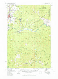
1956 Map of Enumclaw
USGS Topo · Published 1964About this map
The town of Enumclaw serves as a pivotal hub on this mid-century survey, where the Northern Pacific RR meets a network of Logging RR lines and timber interests like the Upper Mill. To the east, the landscape transitions into the steep terrain of the Snoqualmie National Forest, marked by lookout stations such as Pinnacle Peak Lookout and O' Farrell Lookout. Significant civil engineering is evident at the Mud Mtn Dam Spillway along the White River, a project that radically altered the local hydrology by creating Mud Mountain Lake.
Find a feature on this map
109 named features on this map. Tap any name to fly to it.
Don’t see what you’re looking for? This feature index may not catch every label — zoom into the map to look around manually.
Map Details
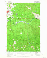
Editions of this 1956 Enumclaw Map

Other maps of this area

1897 · Tacoma
USGS Topo · 1:125,000

1900 · Tacoma
USGS Topo · 1:125,000

1913 · Cedar Lake
USGS Topo · 1:125,000

1924 · Mt Rainier
USGS Topo · 1:96,000

1928 · Mt Rainier
USGS Topo · 1:125,000

1937 · Eatonville
USGS Topo · 1:125,000

1942 · Lake Tapps
USGS Topo · 1:62,500

1944 · Lake Tapps
USGS Topo · 1:62,500

1949 · Black Diamond
USGS Topo · 1:24,000

1950 · Yakima
USGS Topo · 1:250,000